


October 26, 2024 Saturday Weather Update
Election Day forecast looks warm

Election Day Forecast | Tuesday November 5th
With the 2024 Election Day now within 10-days, our weather forecasts can provide a better picture of the upper-level pattern, but not provide much help in determining a new President. All signs point to a strong ridge over the Eastern U.S. meaning mild weather — well above freezing — and any precipitation would likely be light and liquid.
There will be a period of lower-predictability past Day 10 as a developing Typhoon Kong-Rey in the Western Pacific disrupts the North Pacific jet stream during extratropical transition. However, until then, we have a rather repeatable pattern that maintains abnormally warm and dry weather across the eastern half of the Lower 48.

Forecast temperature anomaly for Tuesday morning, Election Day 2024

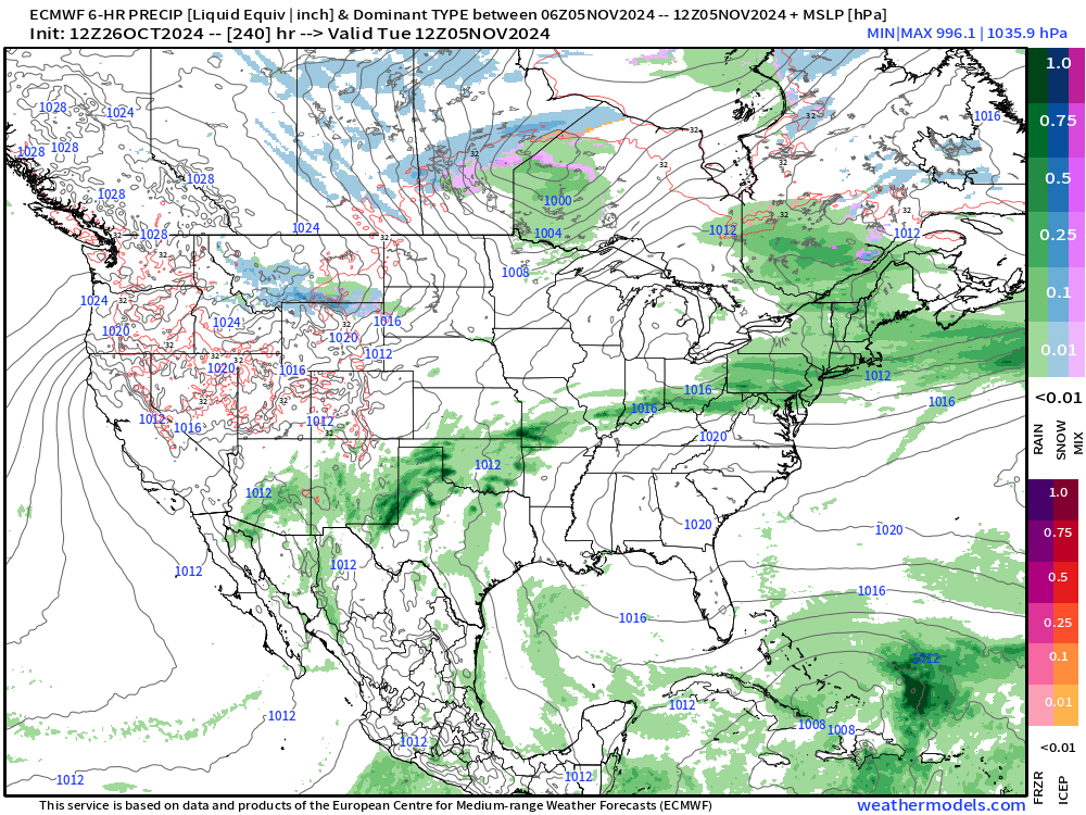
Plenty of media coverage of so-called Tropical Storm Patty in the past few days from hysterical GFS model runs. This HRES 12z cycle shows that the entire Gulf of Mexico is closed for business, and anything that develops would be heading NE out of the Caribbean away from the mainland US.
ECMWF AIFS 12z | Next 10-days | Height Anomaly

Repeated troughing across the Western U.S. for the next 10-days pushing heights above normal across the Eastern U.S.
Halloween High Temperatures

Very warm for Halloween with 80s in the Ohio Valley into the Southeast. I remember Trick-or-Treating in the snow in Michigan when I was a kid. Not so much lately.
New and Renewal Subscribers [2025] can upgrade to Annual for 10% off through October 31.
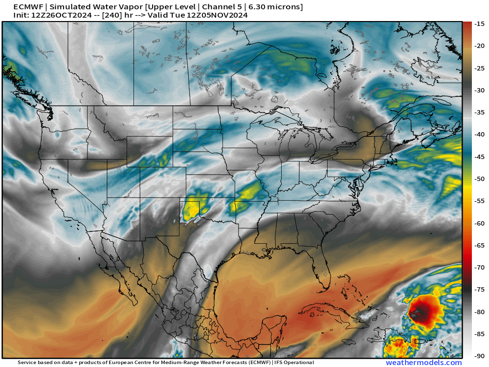
Atlantic Tropical Update
Tropics are quiet as expected in late October.
ECMWF Integrated Vapor Transport
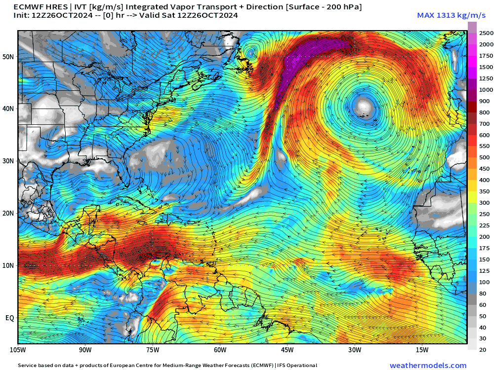
Still watching a “gyre” type system developing over the western Caribbean but upper-level winds would be very hostile the further west this system travels. However, a hybrid or sheared tropical system could develop in the 10-day range, worth watching since ensembles show a development scenario.
Keep reading with a 7-day free trial
Subscribe to Weather Trader to keep reading this post and get 7 days of free access to the full post archives.