


Oct 18, 2024 Friday Weather Update
Nadine may organize prior to landfall in Central America as a weak Tropical Storm

Good Friday evening!
Warming trend into the next week across the Lower 48 as the brief Arctic blast and frost/freezing temperatures won’t be seen for a while, maybe Halloween. October 2024 will be remembered for being very dry across the Lower 48 after Hurricane Helene dropped enormous rainfall across the Southeast up into the Ohio Valley.
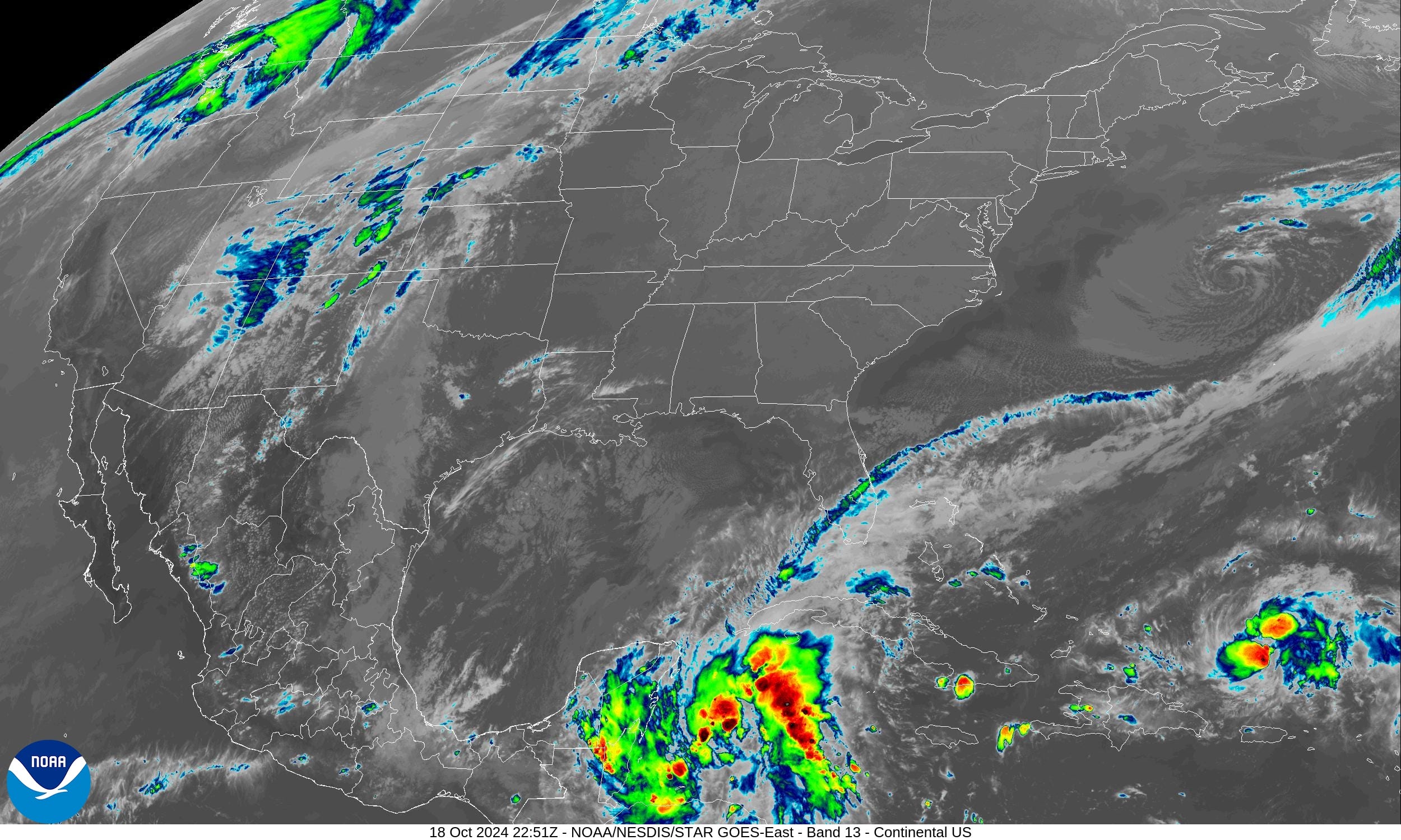
Satellite imagery shows the storms associated with Potential Tropical Cyclone 15L forecast to become Nadine on Saturday just east of the Yucatan. Invest 94L north of Puerto Rico (20%) chance may also briefly swirl enough to become a named storm (Oscar) in the next 48-72 hours.
With the cold front blasting through the Gulf of Mexico, the basin cooled off and is probably closed for business this hurricane season unless something spins north out of the Caribbean into Florida in the eastern Gulf. That’s something we’ll watchin in the next 10-days, or so.
Temperatures 6:30 PM ET

Temperatures warmed nicely in the Plains into the 70s. Mild 60s in the Great Lakes. Hard to complain about the beautiful weather for the past several weeks except it is rather dry.
Last 2-weeks Rainfall

Except for the rainfall with Hurricane Milton, the Lower 48 has had a rather dry last 2-weeks for October 2024.
New and Renewal Subscribers [2025] can upgrade to Annual for 10% off through October 31.
ECMWF 7-Day Precipitation Type
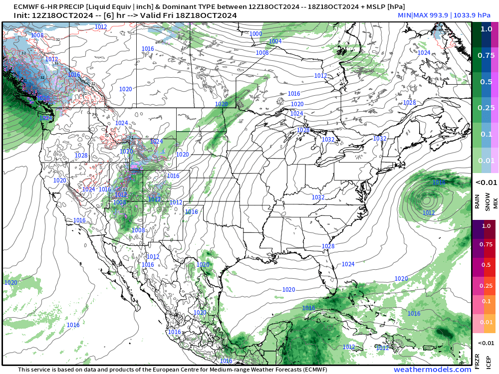
High pressure remains in charge of the eastern U.S. for the next 5-days. A weak weather system could bring rain to the Northeast in a week.
Keep reading with a 7-day free trial
Subscribe to Weather Trader to keep reading this post and get 7 days of free access to the full post archives.