


May 17, 2025 Saturday Tropical Update
Another storm system with severe potential and heavy rain

Good Afternoon!
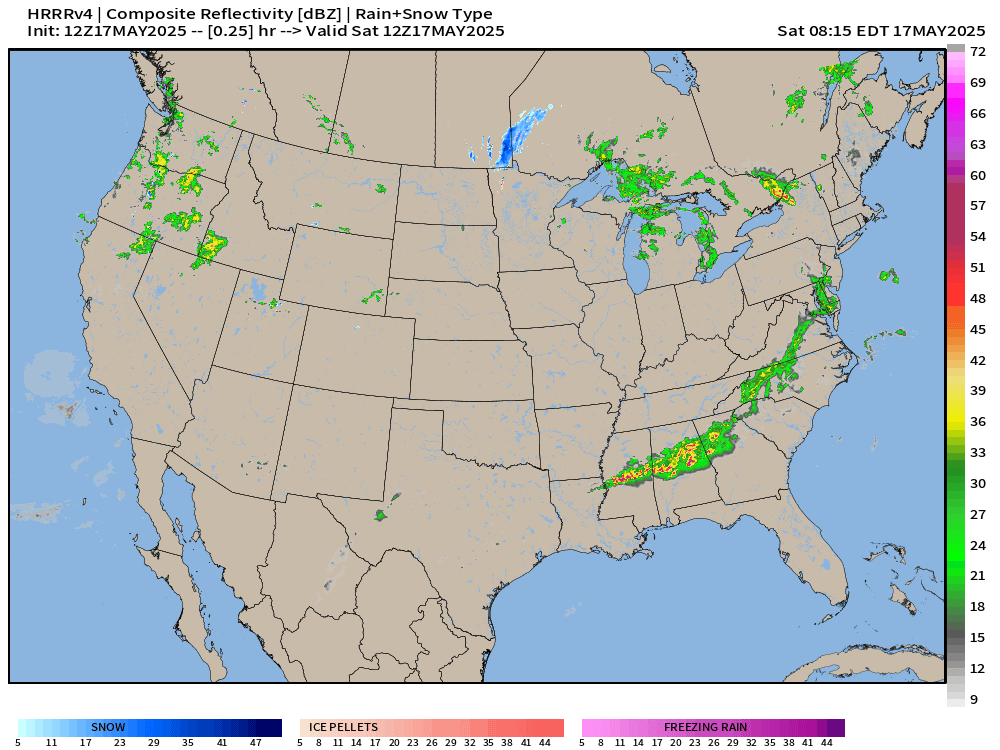
Yet another storm system forming in the Rockies and moving into the Plains will stretch out across the central U.S. with more severe weather. Starting in Texas this afternoon, supercells will fire with potential for tornadoes. Then on Sunday, an “enhanced” area of severe weather will move east into mid-Mississippi Valley.
Our old storm system moves from the Great Lakes into the Northeast, and it still has plenty of circulation and moisture to work with leading to severe storms in Upstate New York.
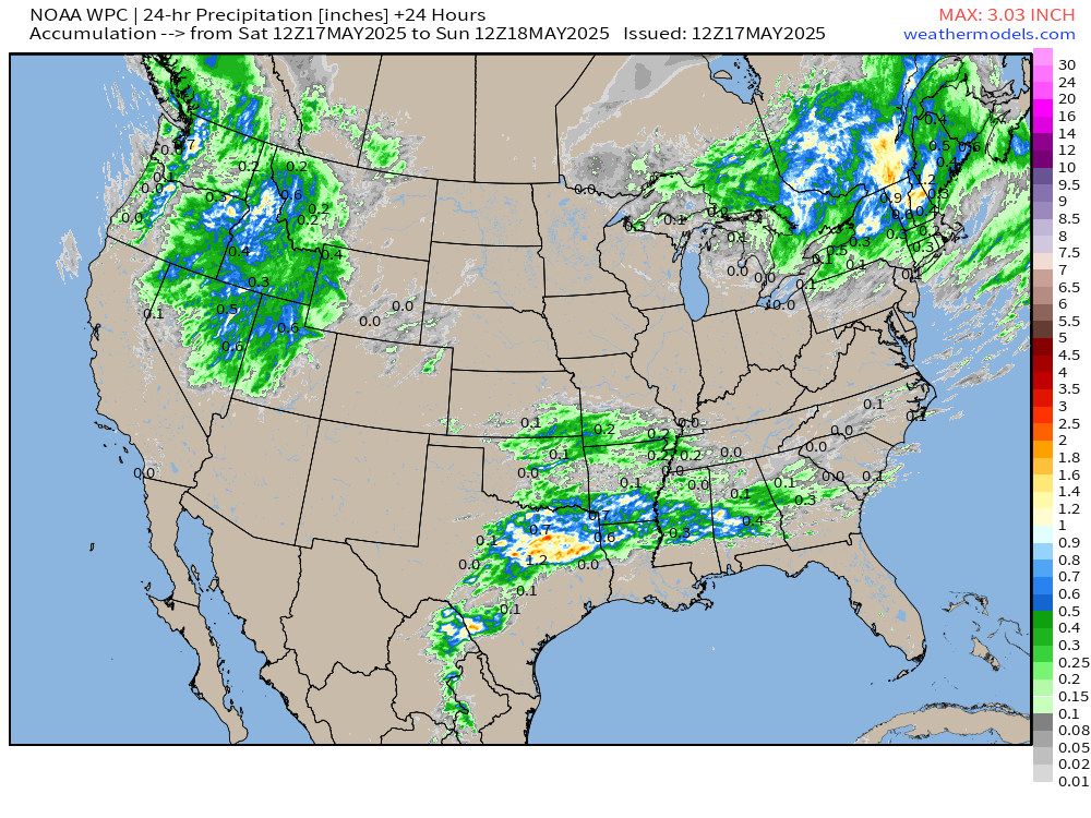
There is still plenty of cold air available for snowfall in the higher elevations of the Rockies associated with a strong mid-level trough. This trough will favor much cooler than normal weather into next week and weekend, as the pattern shifts to chilly but comfortable.
HRRR Simulated Radar Next 48-hours | 12Z
Today’s Update:
Severe weather in Texas and Upstate New York
Atlantic tropical update: 2 ensemble members (4%) with weird tropical storm / hurricane development in the Gulf —> highly unlikely but theoretically possible
Eastern Pacific should see its first storm [Alvin] before end of the month.
This is a wet pattern with considerable rainfall totals across the central U.S. but Florida is exempted in a major way with temperatures into the upper-90s.
Cooler/below normal temperatures from Midwest, Great Lakes, and Northeast keep a lid on any heat wave discussion until probably June.
Keep reading with a 7-day free trial
Subscribe to Weather Trader to keep reading this post and get 7 days of free access to the full post archives.