


March 3, 2025 Monday Weather Update
Welcome to meteorological spring

Good morning!
Welcome to meteorological Spring (March - April - May 2025) but might be a while before we say goodbye to winter weather including heavy snowfall. However, this week we’ll see spring-like thunderstorms and severe weather across the central and southern U.S.
Arctic and subtropical airmasses collide across the Plains with Gulf of Mexico moisture and cold, dry continental polar air fueling a powerful storm system.
By late Tuesday, the central pressure reaches 981 mb over Missouri with intense low-level and mid-level winds surrounding the broad circulation. Wind damage outside of thunderstorms will be a major concern.


Moisture Next 3-days | Precipitable Water
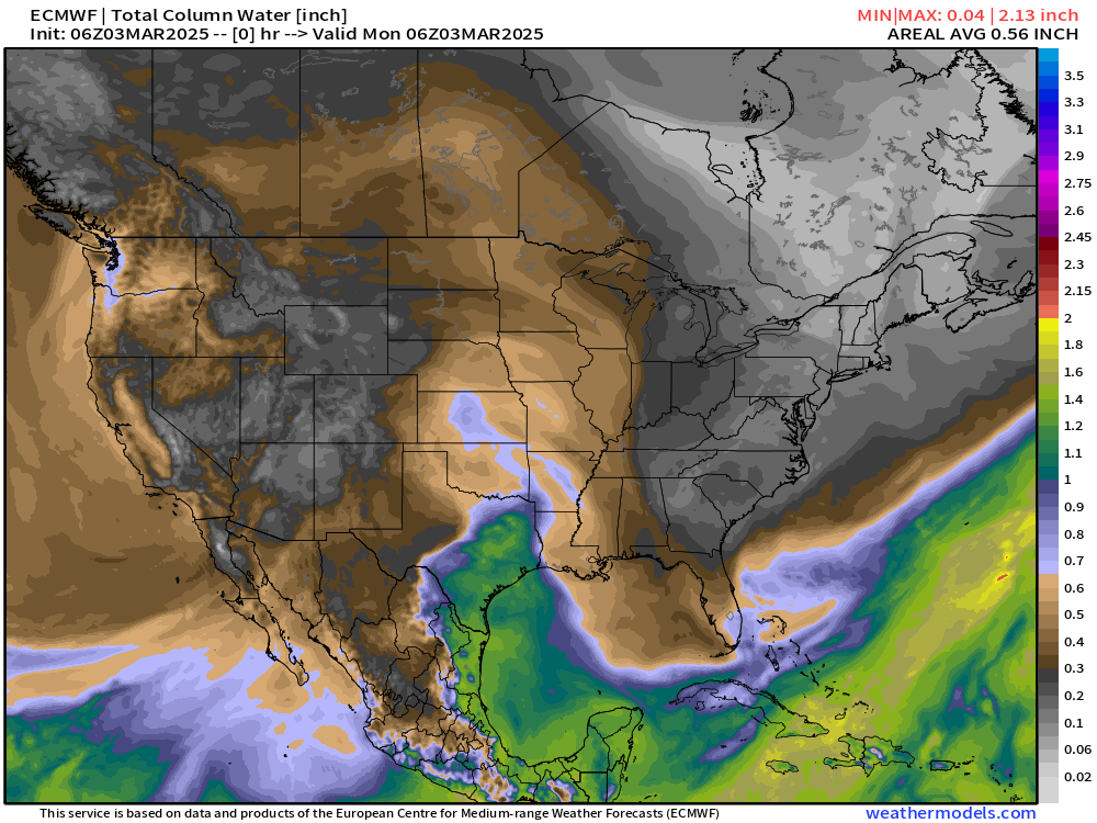
Textbook Plains storm system with a cold front and dry line blasting through Texas into the Southeast over the next 2-3 days.
Precipitation Type | Next 3-days
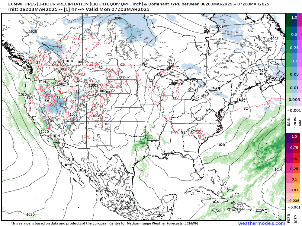
Some snowfall on the backside of the storm system with gusty winds could generate blizzard conditions. The moisture content is pretty low in the polar air to keep actual snowfall totals down. The Western U.S. remains unsettled — a story for the next couple weeks.
Maximum Wind Gusts | Next 3-days | NWS NDFD


Red on the maps is > 50 mph wind gusts. Some locations could top out at 70 mph!
SPC Severe Weather Outlook | Day 1 | Into Tuesday morning
Keep reading with a 7-day free trial
Subscribe to Weather Trader to keep reading this post and get 7 days of free access to the full post archives.