March 14, 2025 Friday High Risk Severe Outlook
Southeast upgraded to rare 5 out of 5 risk level
Good Evening.
Warnings are beginning to light up central and southern Missouri with at least one tornado warning with a developing squall line (QLCS) that will reach St. Louis later this evening.
Current watches at 7:30 PM ET
Relative Humidity + Winds = Fire Danger
The extreme dryness from the base of the “polar vortex” connected trough with single digit humidity in North Texas and only 4% along the Rio Grande.
Winds were gusting to hurricane force earlier in the day in the Texas Panhandle: 2 PM ET with blowing dust causing havoc on interstates for truckers.
Next 48-hours from HRRR | Overview
Synoptic Setup
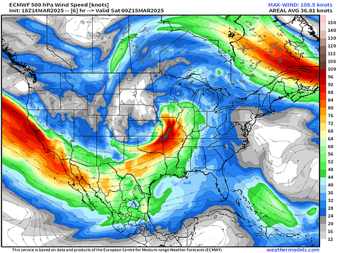
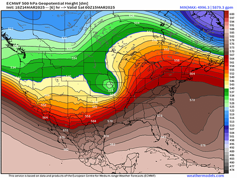
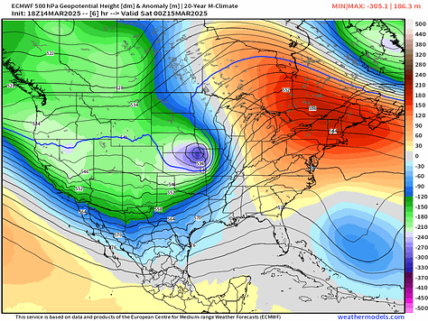
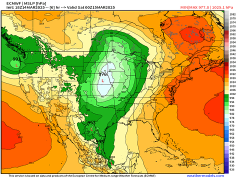
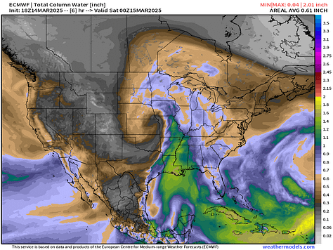
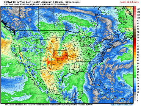
\A sharp trough at mid-levels is co-located with a surface low with pressure down to 975 mb over the central Plains by Friday evening. This is very low for an overland cyclone. At the base of the [cold-core] trough, an intense mid-level (500 mb) jet stream over 110-knots will aid in the explosive development of thunderstorms and provide significant wind and shear for potential of rotating supercells embedded with Quasi Linear Convective System (QLCS) racing ahead of the low tracking into Minnesota.
Keep reading with a 7-day free trial
Subscribe to Weather Trader to keep reading this post and get 7 days of free access to the full post archives.


