


June 7, 2020 Tropical Update: Landfall of Tropical Storm Cristobal
Large but poorly organized storm nearing landfall in Louisiana
Heavy rain threat into the Great Lakes from Cristobal
From a meteorologist’s prospective, the weather maps over the next 3-4 days will be mesmerizing as a tropical storm (maximum winds 50-mph) heads due north into the Great Lakes without losing much of its tropical identity. There is a different look and feel to a tropical storm: the water droplets in the rain showers are distinctive and it feels like you’re in a monsoon. There is going to be some wild weather into Wisconsin by late Tuesday with wind gusts > 60-mph perhaps stronger than when it was in the Gulf of Mexico.

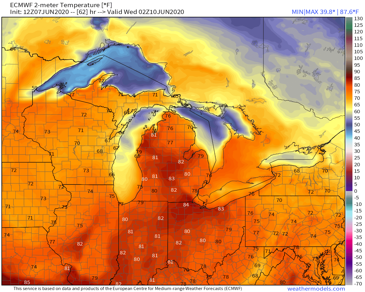
Example late Tuesday evening, wind gusts 40-60 mph with temperatures in the 80s in southern Michigan? Whoa.
Cristobal will likely retain its tropical depression status perhaps through its entire trip in Wisconsin — historic track. Maps from my WeatherModels subscription service.:

Total rainfall amounts will be from 2-4” up the Mississippi Valley.

Rest of the tropics:
The rest of the Atlantic remains quiet and nothing brewing in the Eastern or Western Pacific. The ECMWF seasonal model updated on June 5th and the number of tropical storms & hurricanes and the Accumulated Cyclone Energy remained the same. 11/5 & 80% of normal. This system is biased horribly low but it does provide some insight into how the developing La Niña will impact the Atlantic hurricane season. Perhaps not as busy as some are expecting …