


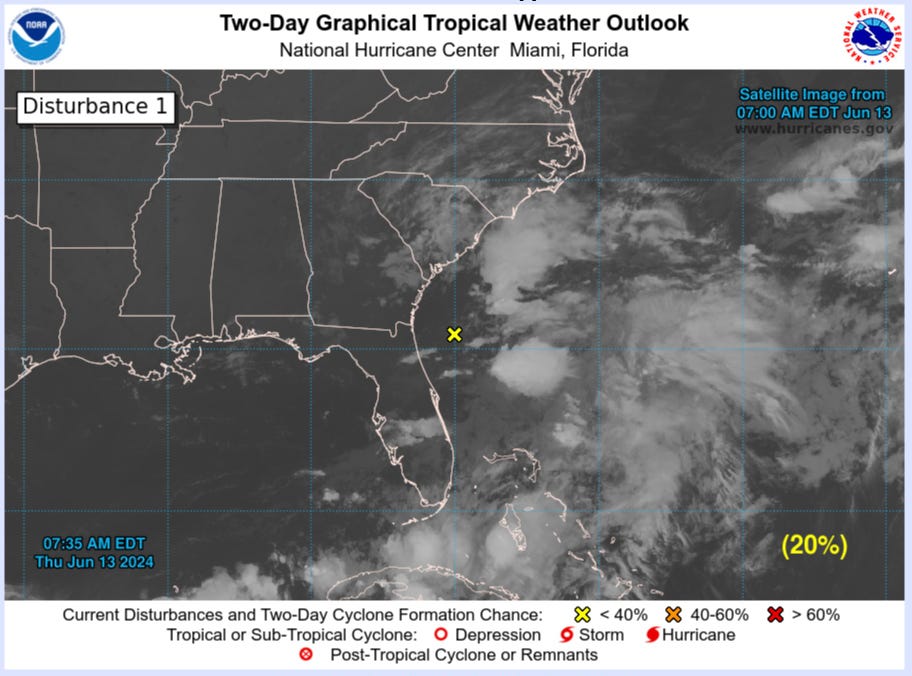
June 13, 2024 Tropical Update: Invest 90L remains disorganized
Higher chance of development in southern Gulf of Mexico early next week

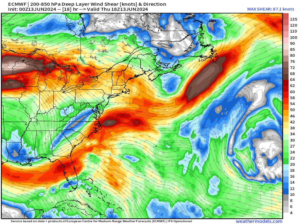
Invest 90L has not become better organized at all. The showers and storms are in clusters but the central pressure has not dropped as predicted yesterday by the global modeling. The NHC maintains a 20% chance of development in the next 48-hours, however, this system is not on the way to becoming Alberto. Strong wind shear is pushing the convection to the east of whatever center would develop — hostile environment typical of mid-June off the East Coast.
Wind Shear of 30-50 knots is directly impacting Invest 90L
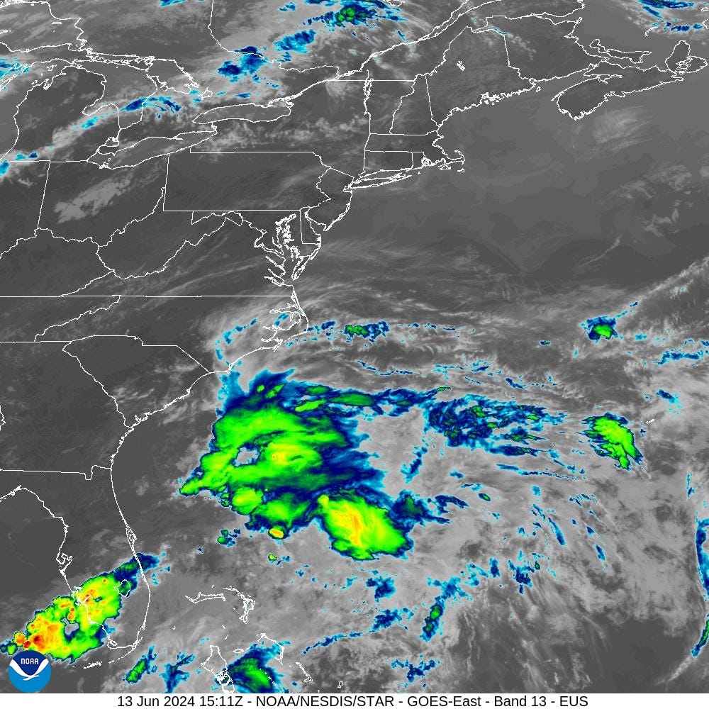
Satellite imagery does show come convection but it is disorganized.
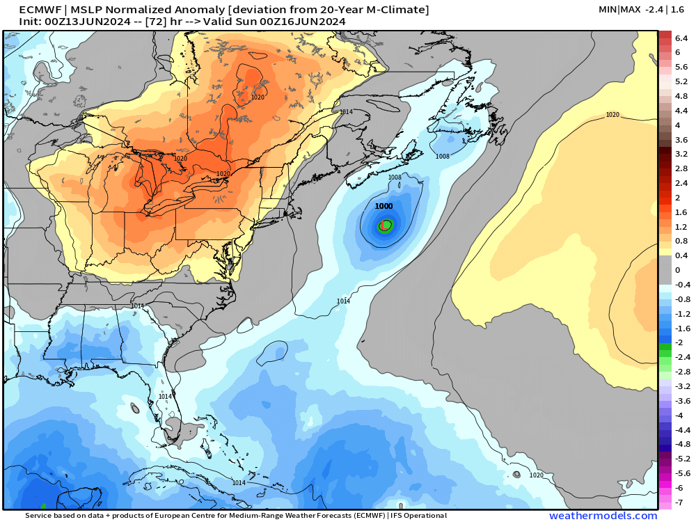
However, by late Saturday, the low pressure could reach 1000 mb but likely be in a post-tropical phase and over much cooler water.
Another area being watched in the 7-day range in the southern Gulf of Mexico up to 40%
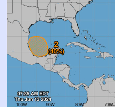


The ECMWF EPS ensembles active storm locations at Day +6.5 show plenty of low pressure centers tracked in the southern Gulf of Mexico. I would put the development chances here as HIGH early next week.

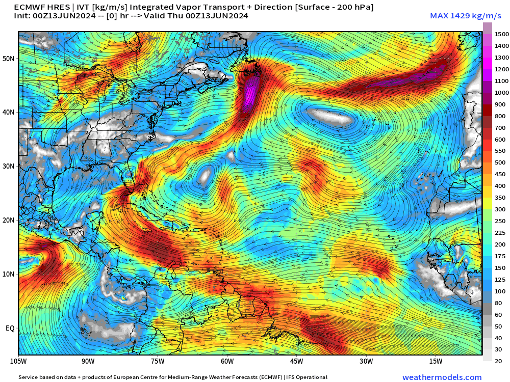
Integrated Vapor Transport
The atmospheric river diagnostic called Integrated Vapor Transport (IVT) works nicely in the tropics to highlight the convergence of deep tropical moisture into plumes across the Gulf of Mexico into Florida.
Next 10-days from ECMWF of IVT:
Massive heat dome / high pressure to develop over the eastern U.S. with moisture required to go up and over — eventually being fueled by the Caribbean / Gulf of Mexico gyre system.
Note — another system could develop in the Gulf of Mexico in the 10-day range from the same gyre.
Keep reading with a 7-day free trial
Subscribe to Weather Trader to keep reading this post and get 7 days of free access to the full post archives.