June 11, 2020 Tropical Update
A tropical depression in the South China Sea
Pacific Tropical Depression (02W)
The tropics do have some activity again as a tropical depression (02W) has been designated in the South China Sea after crossing the Philippines. It has a healthy convective blow-up and may indeed become a Typhoon prior to making landfall in China south of Hong Kong. But aside from 02W, it is a ghost town in the Western Pacific except for two lonely ensembles out of 51 that develop a Typhoon = a low probability < 5%.

The leading hurricane model we use is called the HWRF and it is a shining star of the United States weather modeling lineup. It provides very high resolution and realistic depictions of global tropical cyclones including hurricanes and typhoons. Invest 98W (now 02W) is forecast to reach 979 hPa central pressure so that is definitely sufficient for minimal Typhoon strength. This map is the 10-meters wind speed — and I have a note about this —>

The 10-meter winds in the model are derived and not particularly good in my opinion as they horribly underestimate the true intensity of the storm. So, a good idea is to use the 850-hPa level wind speed and apply a 10% reduction. So, here we have 85-knots maximum winds at 850-hPa so 75-knots would be the advisory intensity if this came to fruition or verified.

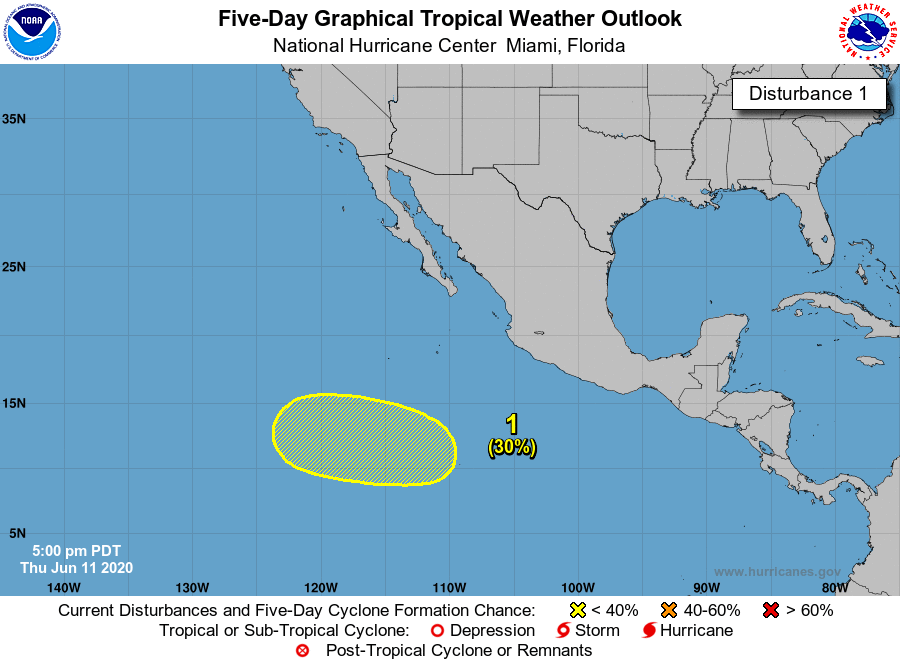
The Atlantic remains quiet for at least the next 5-days according to NHC but probably the next 2-weeks if the EPS 12z forecast is any indication of limited action.

NHC has a disturbance colored yellow at 30% for the next 2-5 days in the Eastern Pacific which has been a ghost town to start the season. Unusual.
Maps are from https://weathermodels.com subscription service for professional (or amateur) meteorologists (currently 25% off)