


January 4, 2025 Saturday Morning Winter Weather
Uncertainty about northward extent of heaviest snow

Good Saturday morning!
By later this evening, a powerful winter storm will be cranking up in the Central Plains and moving due east into the Ohio River Valley on Sunday. The fast moving storm will have potentially devastating impacts with freezing rain and ice accumulations especially in Missouri and southern Illinois. Ahead of the cold front in the warm, Gulf of Mexico moisture plume, Enhanced Risk of severe severe across Louisiana into Mississippi — severe winds, hail and isolated tornadoes.
As you’ll see from some model output, freezing rain could be falling on top of heavy snow on the ground, perhaps creating a cement like paste that will make removal difficult and travel impossible. Conditions could go from bad to worse.
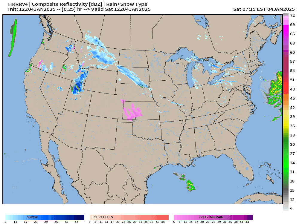
HRRR 12z next 48-hours
The mesoscale model is very aggressive on QPF and coverage of heavy snow > 12”-18” as well as sleet and freezing rain. This 48-hour period through Monday morning 7 AM does not capture most of the event over the Mid-Atlantic including Washington D.C. / Baltimore and Philadelphia.
Snowfall from HRRR through 7-AM Monday (48-hours) according to precipitation type and liquid to snow ratio (by temperature) shows zonal swath with 12” to 24” from Kansas City into Indianapolis and through Columbus Ohio.

Model Snapshot at Noon on Sunday
Keep reading with a 7-day free trial
Subscribe to Weather Trader to keep reading this post and get 7 days of free access to the full post archives.