


January 2, 2025 Thursday Evening Update
Major winter storm will drop 1-2 feet of snow, and heavy icing or sleet

Good evening Subscribers — Thursday January 2, 2025
Blustery across the Great Lakes and New England this evening with heavy Lake Effect snow showers. A fast moving Clipper system moves from Illinois/Indiana overnight and off New Jersey coast by late in the evening.
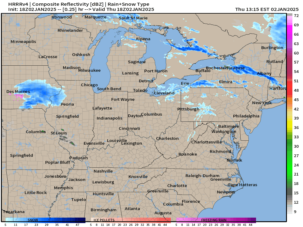
Total snowfall in the next 48-hours from HRRR 18z could be in 1-2 feet in the Lake Effect snow belts, and with the gusty winds, well inland from Ontario into central New York.
HRRR has a healthy 2-4” including Philadelphia into southern New Jersey.

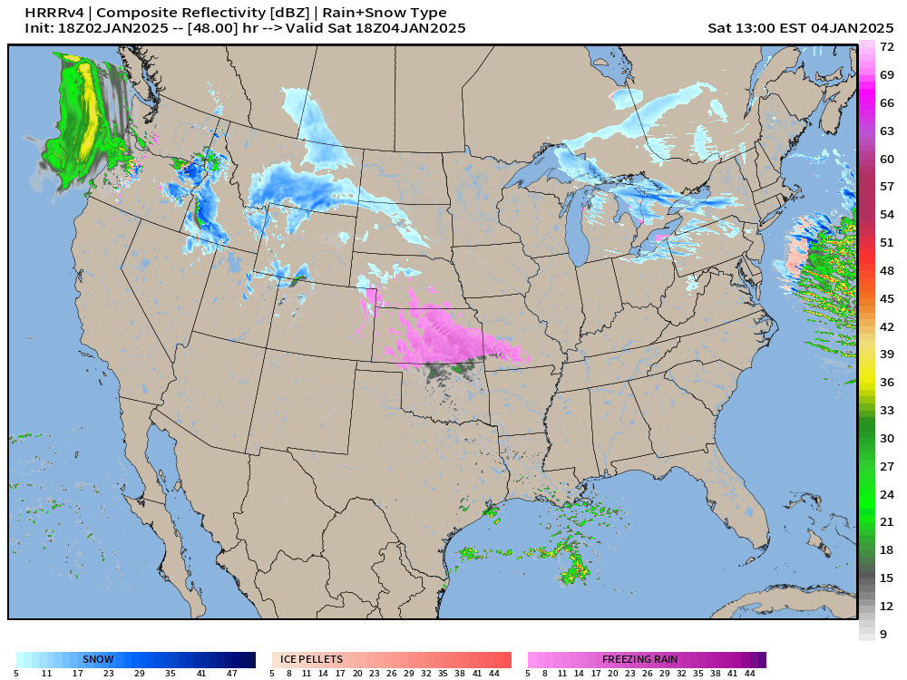
At 48-hours Saturday afternoon at 1 PM:
Freezing rain already seen across Kansas as Gulf of Mexico moisture surges north across the Plains with developing winter storm.
Winter Storm | Saturday - Monday
The impacts from this storm are going to be extreme and probably surprise a lot of folks in the path of the due eastward moving system.
There is a LOT of moisture or QPF, so a great opportunity to see Integrated Vapor Transport (IVT) over the next 6-days with boatloads of Gulf of Mexico moisture pulled into the warm sector of the developing low-pressure system. Easy to see 1” to 2” of QPF along a zonal path from Kansas to Maryland.

This is fast moving system and travels from Kansas from Sunday 12z to off the Atlantic coast by 00z Tuesday — so about 36-hours. However, during that time frame, major impacts.
Indianapolis with 20” of snowfall? That’s how 1.8” of QPF would be dumped on the city with temperatures in the mid-20s late Sunday into Monday.

Keep reading with a 7-day free trial
Subscribe to Weather Trader to keep reading this post and get 7 days of free access to the full post archives.