


January 3, 2024 Wednesday update
Anticipating building for major winter weather pattern ahead
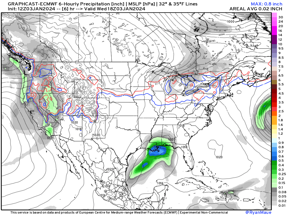
I am mesmerized by the GraphCast trained A.I. global model so I need to show it again for the next 10-days to highlight the awesome winter weather pattern on the way.
The GraphCast-ECMWF [experimental/non-commercial] A.I. model shows a parade of winter storms from west to east dipping into Texas and the Southeast before tracking NE into the Ohio Valley and Northeast.
These multiple chances of significant accumulating snowfall are possible because of an intrusion of much colder, Canadian Arctic origin air courtesy of the Polar Vortex — our friend from 10-years ago that absolutely wrecked the Midwest including Chicago with record cold temperatures. However, this time, it looks like the heart of the cold air will arrive in the Pacific Northwest and drain west of the Rockies in 8-10 days.
Let’s zoom in on the Mid-Atlantic:

The 32°F line remains righ over Washington D.C. so that’s heavy QPF that should fall as snowfall. This model solution has been the same for 2-3 days. The certitude is remarkable. However, the conventional — physics based models are not giving much snow to Washington D.C. instead within warmer air from the Atlantic.
Conventional physics based weather models including the EPS 12z are on the low side for snow accumulations for D.C. to NYC. Maybe 1-2” unless there is a slight adjustment of the storm track to the east in line with GraphCast. That’s certainly possible. The % chance of 3” in D.C. is around 20% but around 50% in NYC. While the precipitation will not fall mostly as snow, there is plenty of QPF — the total precipitation is expected to be 0.8” to 1.2” over a large area.


Keep reading with a 7-day free trial
Subscribe to Weather Trader to keep reading this post and get 7 days of free access to the full post archives.