


January 18, 2024 Clipper System
Weekend extreme cold before next week's warmth
Weather Trader Evening Update
Tropical Cyclone threat to Queensland, Australia
GraphCast-ECMWF 12z (experimental/research) does not landfall Invest 90P system while the ECMWF 12z deterministic HRES makes landfall in 180-hours (late next Thursday). What’s going on? The EPS ensembles help out. There are 2 clusters of solutions and you can either take Door #1 or #2.
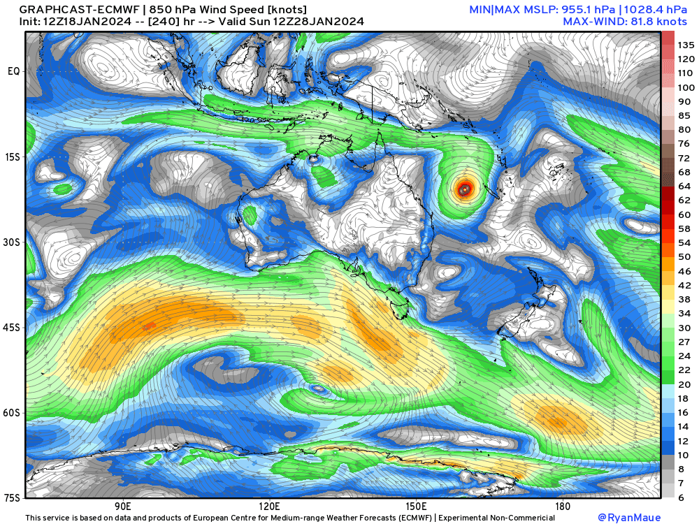


There’s another land-based tropical cyclone like feature heading into Western Australia dumping a lot of rainfall and keeping temperatures down with cloud-cover. We’ll wait until 90P becomes a tropical cyclone before making definitive forecasts on landfall or not.
Arctic Blast 2
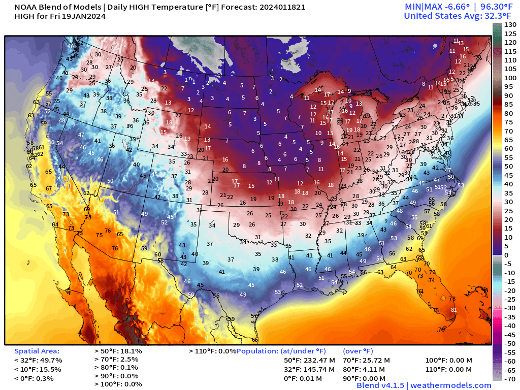
High temperatures on Friday will be in the single digits across the Corn Belt and the Northern Plains. Florida is in the 70s and 80s along with Phoenix and Southern California. I remember watching the Weather Channel when I was a kid in the early-90s and daydreaming on a frigid winter day jumping on United Airlines (travel planner!) to Phoenix or Miami.
Arctic Blast 2 is slightly less worse than Number 1, but still going to cost me about $15/day to heat my house since the heat pump struggles in temperatures under 22°F here in Atlanta. Thankfully, I have a decent gas fireplace with enough BTUs to heat everything up for a fraction of the cost of electricity
High Temperatures Friday | Wednesday January 17, 2024
Friday Morning Lows | January 19, 2024

Saturday Morning Lows | January 20, 2024

Sunday Morning Lows | January 21, 2024
Sunday looks coldest for Florida with 30s into northern Orlando metro.

Western U.S. storms parade + impactful but quick Clipper System through Mid-Atlantic
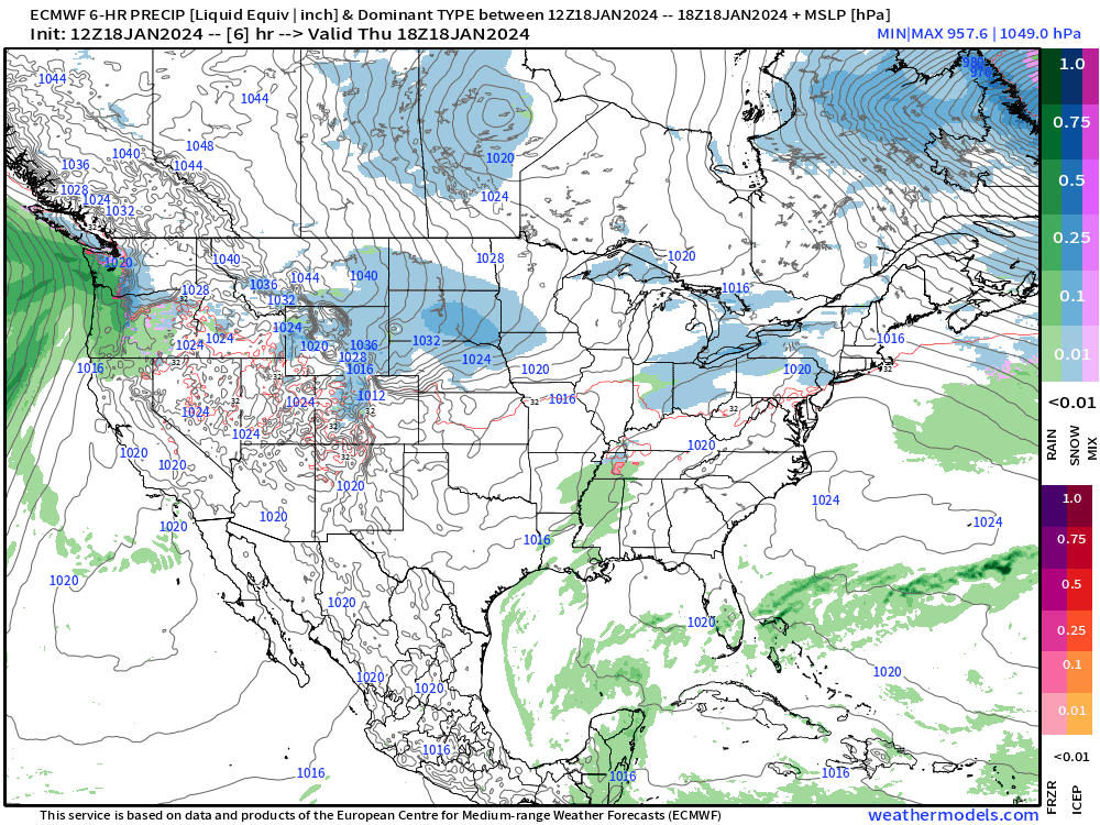
This little Clipper system continues to increase in impact in the forecast models with NWS increasing snowfall forecasts since earlier today.
Heavy west coast precipitation will combine with Gulf of Mexico flow to inundate the Gulf Coast from Texas to Louisiana. It will go from winter Arctic blast to tropical January downpours.
Behind the weak low pressure system that slides off the mid-Atlantic coast on Saturday, very cold high pressure builds over the Lower 48 centered on Missouri in the 1040s mb. This would be a serious bout of Arctic air had we not just had the current blast — so less worse.
Snowfall Forecasts Next 3-Days
Keep reading with a 7-day free trial
Subscribe to Weather Trader to keep reading this post and get 7 days of free access to the full post archives.