


February 7, 2024 Nor'easter Watch
Potential for major winter storm increasing
Weather Trader | Wednesday Afternoon Update
Maybe get your snow shovel out east of the Rockies before Valentine’s Day? A week ago, there was nothing on the horizon in terms of winter storm activity until at least the February 13-15 range. And, it looks like finally there’s a decent signal for a Nor’easter. However, as with these systems 6-7 days out, the details are fuzzy, and that’s certainly the case here.
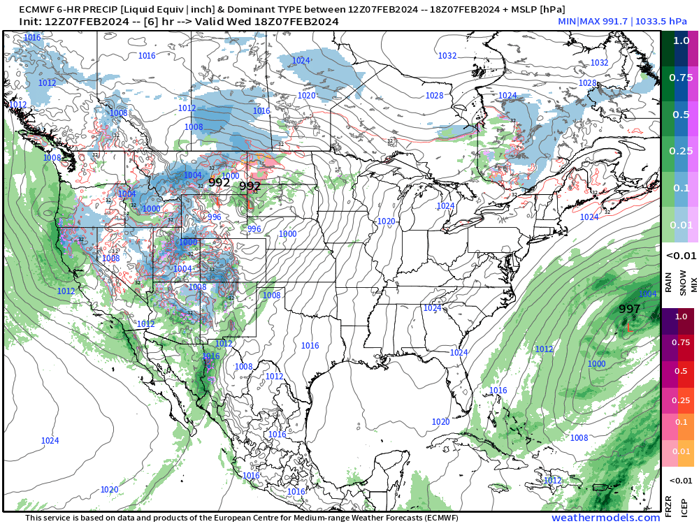
This is the ECMWF HRES 12z animation of the next 8-days. But this model has been inconsistent with 3 different solutions in the past 2 days.
The ECMWF EPS control is the same configuration as the HRES and ostensibly just as plausible of a solution as the 10-day HRES. They are the same model but differ as time goes on because of the butterfly effect.
This solution is wet for the coastal cities. So, in the coming day(s), we’ll watch how the upper-level patterns trend and fine tune the forecast for rain/snow — or nothing at all.
Keep reading with a 7-day free trial
Subscribe to Weather Trader to keep reading this post and get 7 days of free access to the full post archives.