


February 3, 2025 Monday Weather Update
Messy winter storms across Northeast during next 7-10 days

Good Evening!
Hot across Texas this afternoon with temperatures pushing into the 90s around Lubbock about 30°F above normal. But very cold air locked up in Montana and The Dakotas is trying very hard to sink southward into the Plains and then to the Great Lakes and New England. You can go from -15°F in Montana to 90°F in Texas. The Spring like warmth continues across the southern U.S. for the next several days. However, a cold front will wipe out the 80s in Dallas by Sunday.

Lower 48 Temperature anomaly = +8.5°F above normal.
With -40s (anomaly) in Montana vs. +36°F in the Texas Panhandle.

HRRR simulated radar next 48-hours
Still watching the cut-off low or trough off the Washington and Oregon coasts. It is helping to shunt the atmospheric river from the subtropics (Pineapple Express) into northern California and then into Idaho. The Rockies don’t block the moisture thereafter and it can extend across the northern tier of Lower 48.

Snowfall adds up to 10-feet in the next 48-hours in the highest elevation peaks.
On the north side of the Pineapple Express, temperatures are much colder e.g. Seattle for snowfall at sea level. You can see the snowfall out over the Pacific waters, too.
NWS Snowfall Next 72-hours

Total Precipitation (Rainfall + melted equivalent QPF of snowfall) next 72-hours
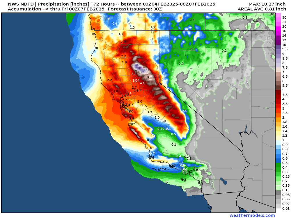
NWS Total Snowfall Next 72-hours

Huge snowfall totals in Idaho [not in Boise] and Montana, and some in Seattle [2”] and Portland [0.7”].
Precipitation Type and MSLP Next 10-days
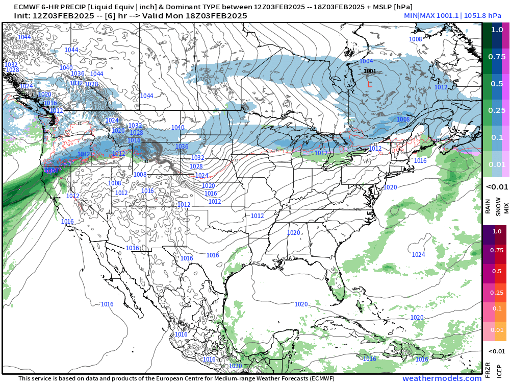
Multiple systems on the way for the Northeast that could dump significant snowfall, but also have mixed precipitation or freezing rain as the warm Gulf of Mexico moisture surges northward over the colder, Arctic air in place.
Looking at the recent ECMWF 18z Forecast to see the Snowfall across the Northeast for 6-days, at least.

This includes the entire next 6-days.
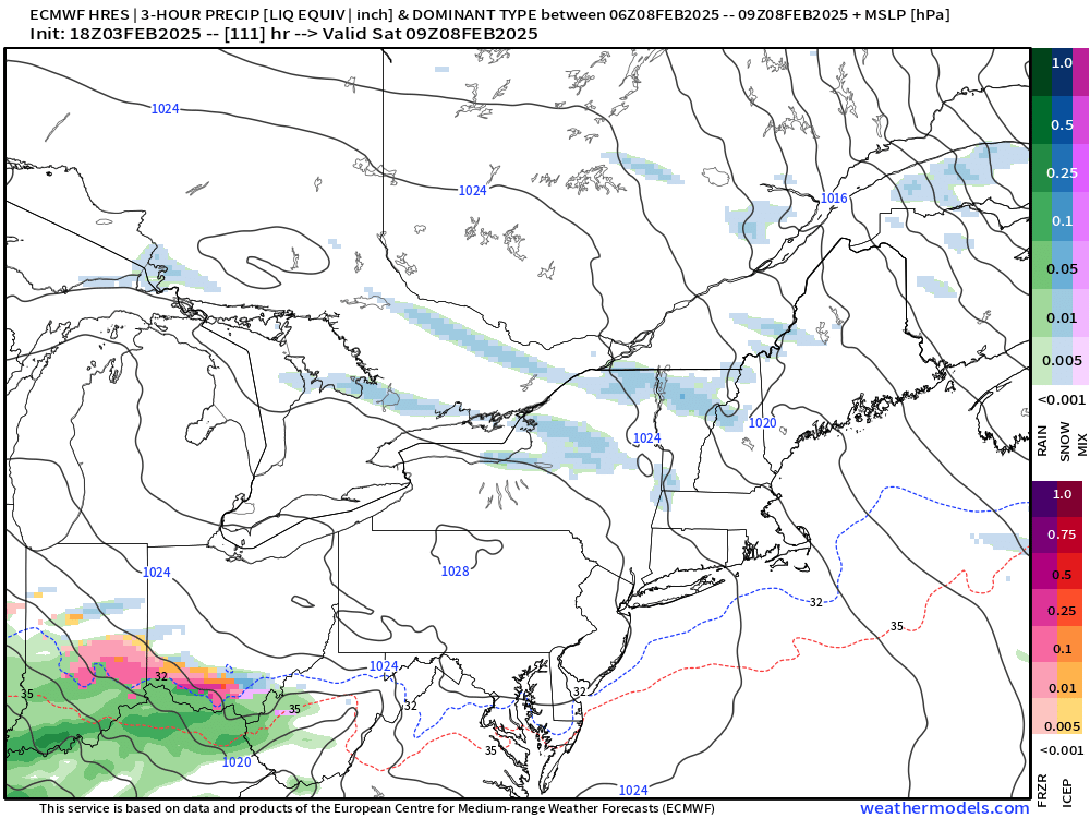
Messy Storm Thursday
Precipitation type Wednesday - Thursday

Significant freezing rain event followed by rainfall in the Mid-Atlantic, but more snowfall in New England.

Repeat System Saturday - Sunday
Keep reading with a 7-day free trial
Subscribe to Weather Trader to keep reading this post and get 7 days of free access to the full post archives.