


February 24, 2025 Monday Weather
Wonderful week of warmth

Good Afternoon!
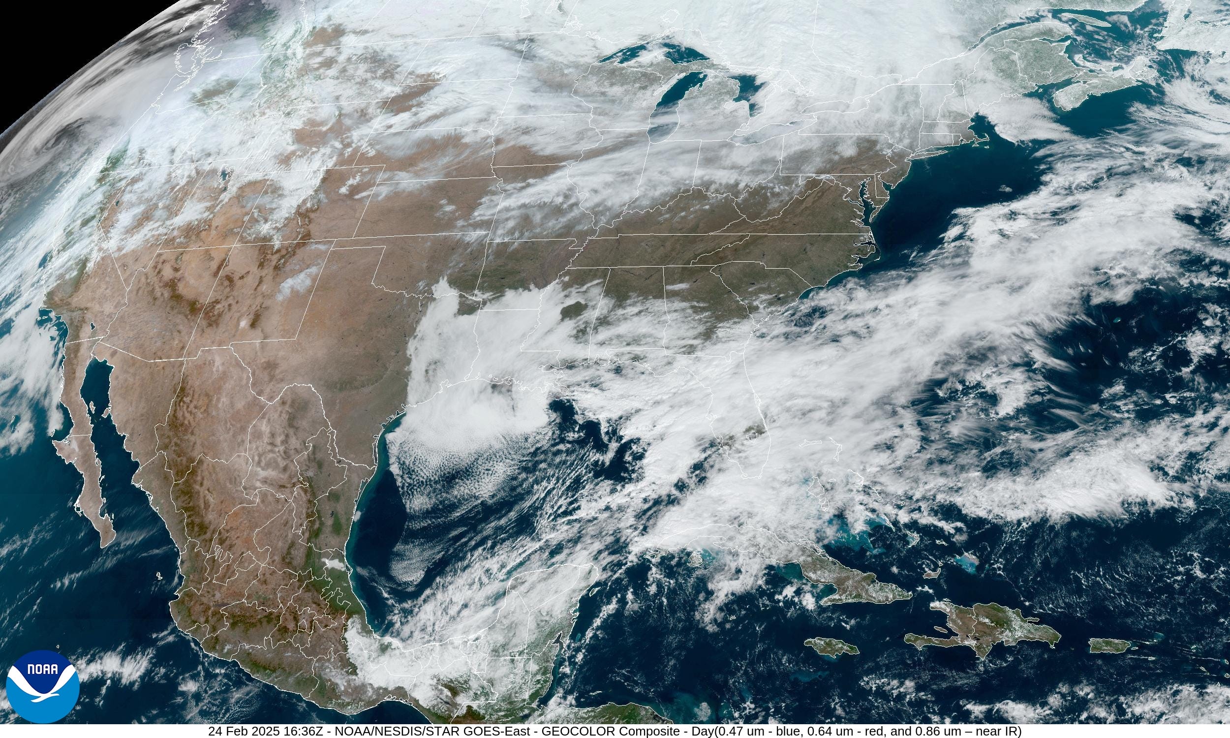
For those getting sunshine this afternoon, temperatures will warm nicely into the 60s and 70s. We’re almost done with February, so much warmer weather is on the way in March especially across Texas, the Gulf coast, and Southeast. Time to plan your Spring Break destinations!
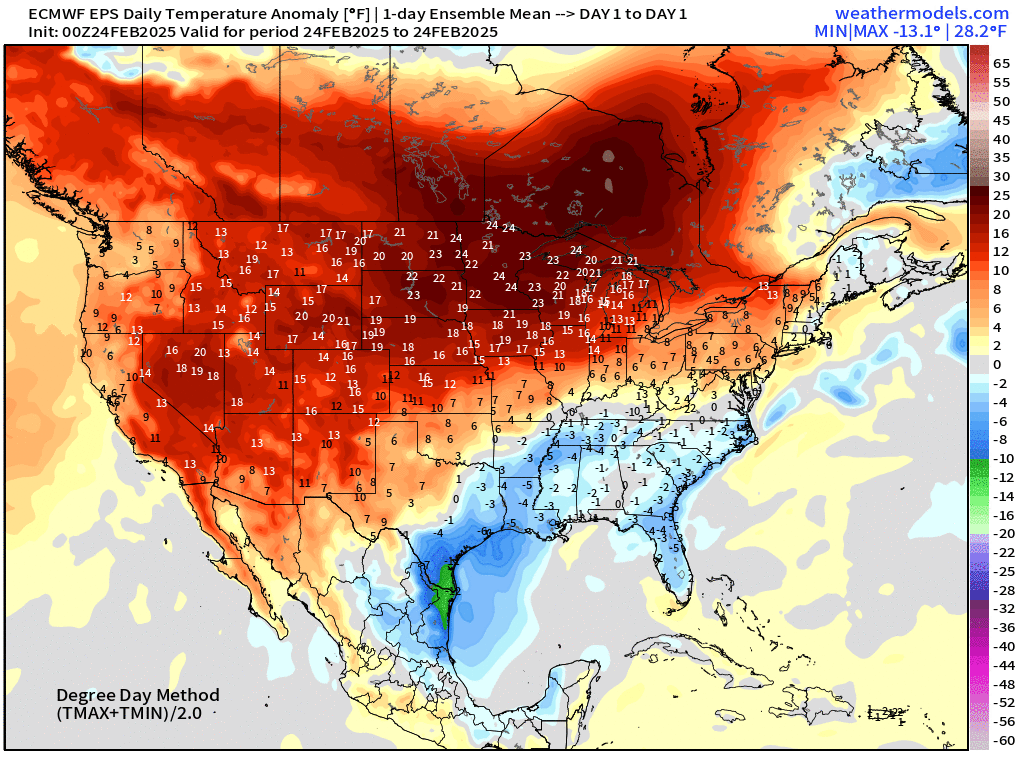
Highs on Monday

57.7°F is the Lower 48 average high temperature today. Only 20,000 population remains below freezing, so not everyone is thawing out. 67 Million at/above 70°F
Warming Trend Continues This Week | Temperature Anomaly Next 15-days from ECMWF 00z
A lot of nice and warm “red” on the maps across the Lower 48 with only brief breaks of much colder air across the Great Lakes and Northeast with lingering pieces of the Polar Vortex still spinning over Quebec. Thankfully, no more brutal winter cold on the horizon. And, if we can get to March 10th, then climatology will be quickly warming day after day into the beginning of Spring 2025. Can’t wait!
Moisture Transport | IVT Next 10-days

Weather pattern over the next 10-days features a western ridge so the storm track across the Pacific is on a NE path pushing atmospheric rivers into the Pacific Northwest of the USA and into coastal Alaska and Canada.
The troughing over the Eastern U.S. isn’t intense, but just enough to get a juicy Gulf of Mexico (America) flow going to fuel southern storm and heavy rainfall. Not quite severe weather season, but we’re getting there!
Total Precipitation Next 15-days + Anomaly

Larger view of the the continent to show the rainfall heaviest over the Pacific into the coast from Oregon to Washington.
In terms of comparison to normal for the next 15-days, still a general deficit over the Lower 48, so we’ll need to watch for drought into the planting season.

Total Snowfall Next 15-days
Keep reading with a 7-day free trial
Subscribe to Weather Trader to keep reading this post and get 7 days of free access to the full post archives.