


February 21, 2024 Spring Fever
Not seeing winter returning for the next 2-weeks

Wednesday Evening Update
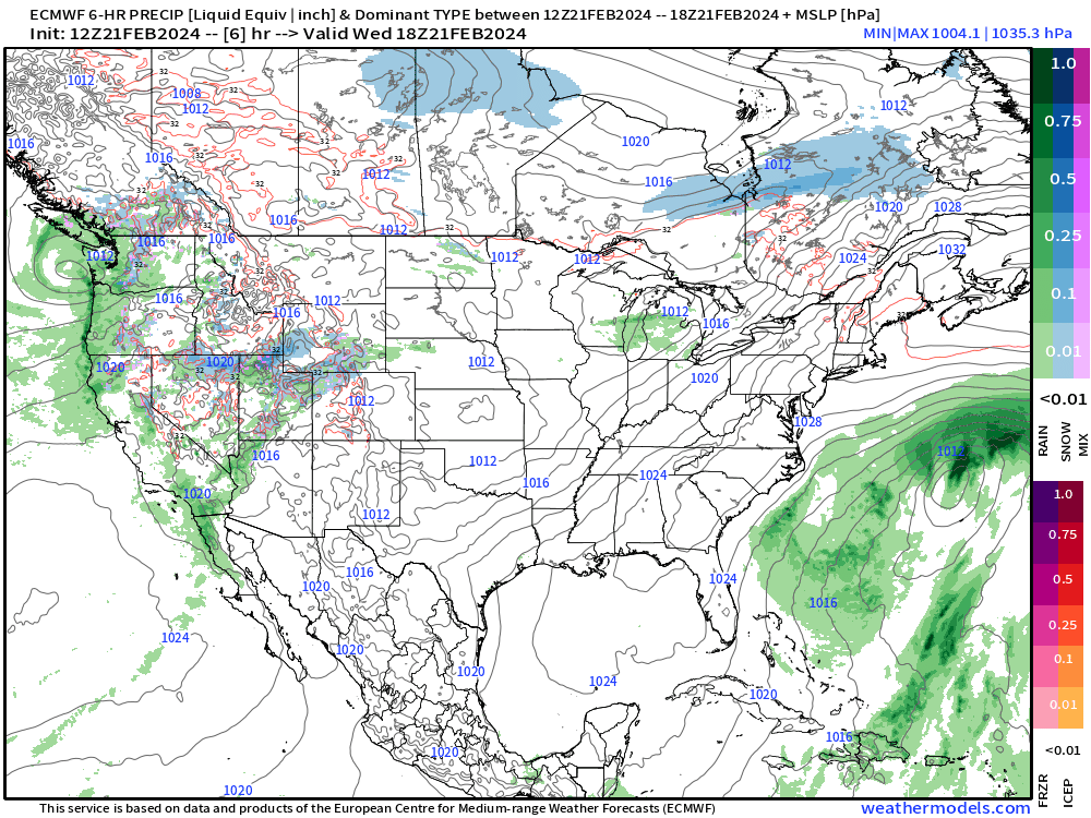
Tomorrow continues the warmup into the Midwest with close to 60°F in Chicago and D.C. After a bit of a cool shot in the Great Lakes on Saturday behind a weak, but fast moving weather system, even more significant warming into early next week with Chicago to 67°F on Tuesday.
Tomorrow’s high temperatures (Thursday, Feb 22)

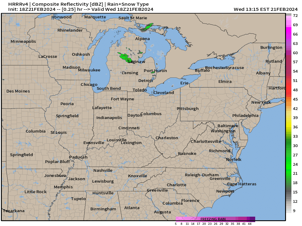
That weak weather system will provide some rainfall and thunderstorms along I-80 into the Ohio River Valley. And, some light Lake effect snowfall over Michigan, as a reminder that late February is cold enough to snow — behind a reinforcing cold front. However, the cold will be short-lived and not intense.
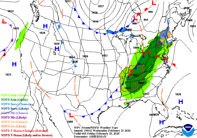
WPC Surface map for 7 PM Thursday evening (tomorrow)
Then, check out Tuesday (Feb 27)
Might see close to 80°F in St. Louis and pushing 70°F into Indy and Cincy. 80s and 90s in Texas with warmth extending to the Southeast. This will feel wonderful.

Snowfall on the way?
Not really east of the Rockies. There is light accumulations in the ensemble median through 2-weeks, but not seeing a strong winter storm signal.
Enormous snowfall totals continue piling up over the Mountain West.

A 6-inch snowfall accumulation during the next 2-weeks looks quite unlikely over much of the Lower 48 east of the Rockies. This probability of 6-inches+ map goes into March 7th. Stick a fork in winter.

The ECMWF HRES 10-day at 12z did have a winter storm toward the end of next week. However, it is very fast moving, and doesn’t look like much of a snowmaker. But, since there’s nothing else on the docket, we’ll focus on next week’s weather for the next winter storm chance.
Daily Temperature Anomaly | Day 6 to 10 | Feb 26-March 01

Using the degree day method daily (TMAX+TMIN)/2.0, we see an enormous 15°F above normal signal, which only then moves NE in Days 11-15. I don’t know how anyone can say Winter is doing anything but retreating.

Let’s check in on GraphCast A.I.
This A.I. modeling goes through Day 10, and it’s mostly red. So, not much to add here other than confirming the conventional NWP modeling.

How about the Ensemble Clusters?

This is all 103-ensemble members from GEFS, ECMWF, GEPS (Canada).
Warm —> brief shot of cooler air at Day 9-11 —> warming again.
Why the warmth again at Day 10+ ?
All the upper-level height pattern clusters are firmly locked onto a monster trough/ridge pattern over the Lower 48.
Maybe that rodent on Groundhog Day was right?

More Ensemble Clustering Tools at Weather Trader
(Maps from weathermodels.com and weathertrader.com)
Thank you to my paying subscribers! Consider upgrading to a Yearly Plan if you find these updates valuable and wish to support my development at Weather Trader. As you can see, your support has paid dividends with considerable progress made to launching Weather Trader at full-tilt. There is still some work to do in the coming days/weeks. Also, it allows me to provide (usually) interesting and valuable commentary on scientific topics on X. Feel free to say hello and follow on X/Twitter (@RyanMaue)
More Graphcast please!