


February 14, 2025 Friday Winter Weather
Extreme cold next week could finish with blockbuster blizzard Nor'easter

Good Friday Evening and Happy Valentine’s Day!
We made the news! AP News article on yet another “Polar Vortex Event”
“Everything, all the stars align, all the wind directions in the atmosphere are dragging the cold polar air out of the Canadian Arctic,” Maue said. “It’s the depths of winter. Everything signals extreme biting, winter cold. Obviously this isn’t the first polar vortex episode of the winter, but it looks to be the most severe.”
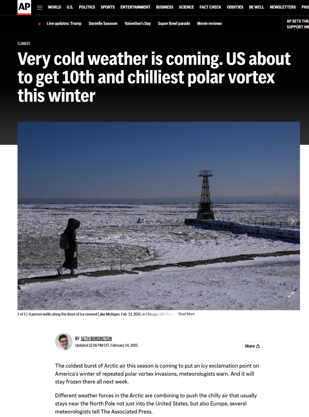
Very cold weather is coming. US about to get the 10th and chilliest polar vortex this winter.
ICON Model Depiction of Extreme Cold at 5-days (Wednesday Morning)
The 5-day forecast has a pool of extreme cold in the 40°F to 60°F below normal range spreading from Canada to Texas.
In Montana and the Dakotas, beneath 1055 mb high pressure, the temperature anomaly is still in the -70s °F with actual temperatures in the minus 40s and 50s and wind chills in the minus 70s. ICON is the coldest but not by much.


The ICON model from Germany is a global system at high resolution and it consistently has the best performing 2-meter temperatures in the near-term. It performed very well for January’s major polar vortex outbreak.
ECMWF 18z | 5-Day Forecast Comparison


The pattern of the extreme cold is just about the same with ECMWF 18z (HRES) with the MSLP high pressure elongated in the 1050s in the Northern Plains. Amazing.
Temperature Analysis 6:00 PM ET

Nose of warmth extends into the central Plains and Kansas with 60s and 70s.
Temperature Anomaly 6:00 PM ET
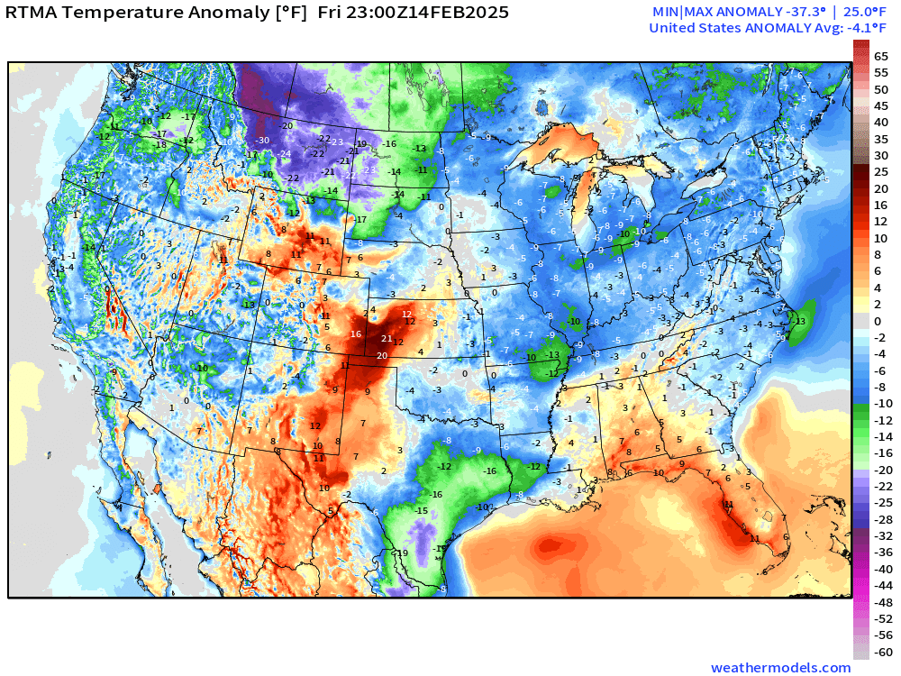
Lower 48 Temperature anomaly = -4.1°F below normal with most extreme cold in Montana.
The main story over the next 7-10 days will be the cold temperatures.
A blockbuster blizzard for the I-95 corridor including D.C. NYC and Boston is still possible.
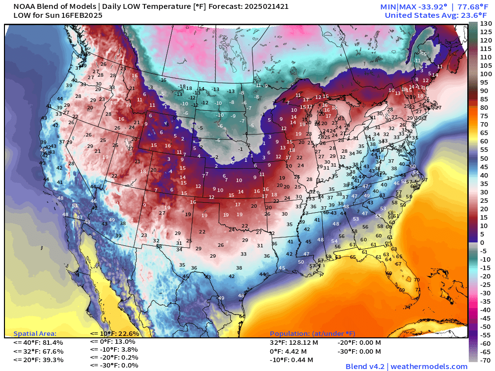
Saturday Morning Low Temperatures

Only 160 million below freezing. And Lower 48 average of 25.9°F
High Temperatures on Saturday

Rather nice day across the South with 70s in Texas and maybe 80°F around New Orleans. Solidly 80s in Florida — total of 20 million Americans.
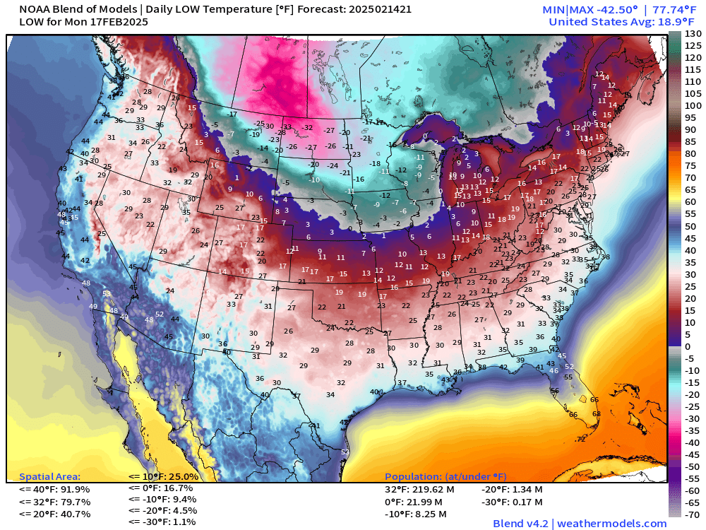
Low Temperatures on Sunday
A bit colder when averaged across the Lower 48. Subzero air invades the Plains into Nebraska. 13% of the Lower 48 is < 0°F while 2/3 is below freezing. But only 128 million population.
Low Temperatures Next Monday
Much colder with 220 million population freezing. 80% of the area of the Lower 48.
Low Temperatures Next Tuesday

Lower 48 average is 16.2°F with over 35 million population below zero. Minus 30s across Montana and North Dakota.
Low Temperatures Next Wednesday

Lower 48 average down to 12.5°F and below zero into North Texas and OKC.
31% of the area of Lower is sub-zero, amazing for February 19th.
Low Temperatures Next Thursday

Lower 48 Average is colder yet at 12.2°F
Area of minus 10s and 20s extend from the Dakotas into the Corn Belt. Brutal.
Low Temperatures Next Friday

Cold pool remains entrenched east of the Rockies. 253 million below freezing. 29 million subzero.
City Forecasts: Dallas and Williston North Dakota


Minneapolis and Chicago


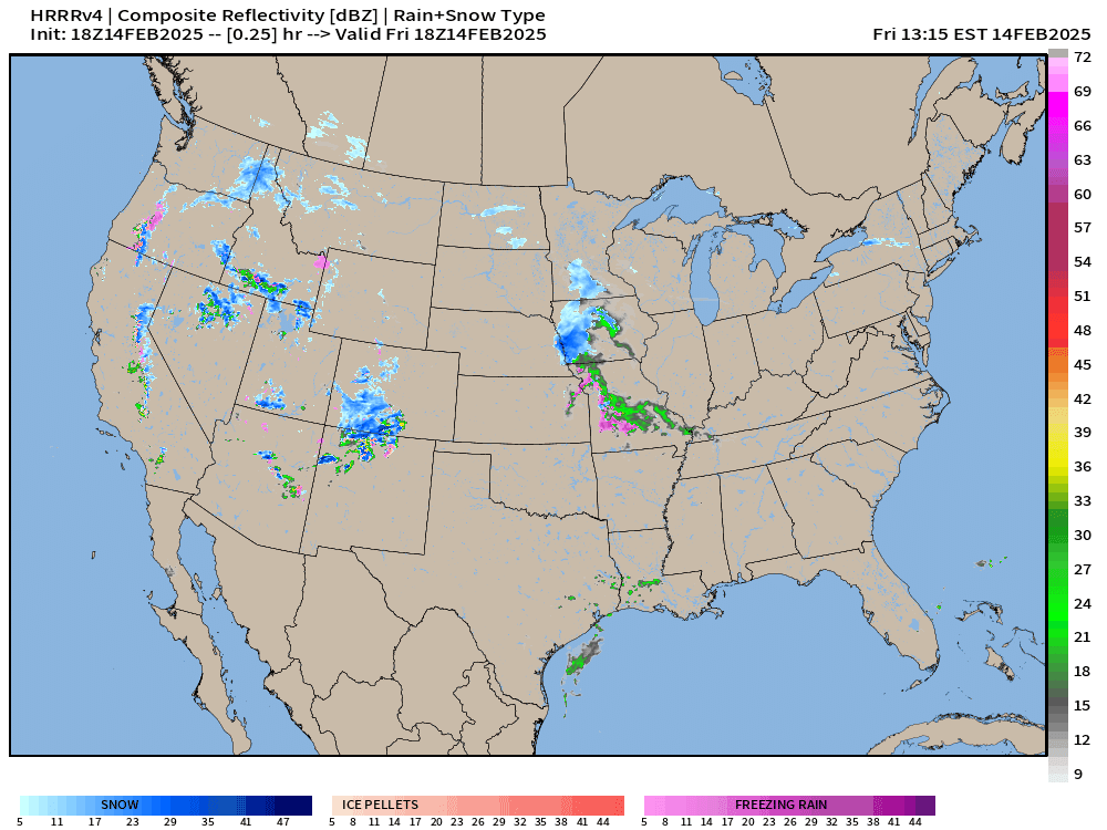
Short-term weather … HRRR Next 48-Hours
Big problems across the South as a sharp cold front with a powerful low pressure system tracking through the Ohio River Valley.
Severe weather is likely — Enhanced Risk mainly gusty winds, and hail.
Heavy rain / flooding threat in the Tennessee River Valley


   ...THERE IS AN ENHANCED RISK OF SEVERE THUNDERSTORMS ACROSS NORTHERN
   LOUISIANA...SOUTHEAST ARKANSAS...MUCH OF MISSISSIPPI...FAR SOUTHWEST
   TENNESSEE...AND WEST-CENTRAL ALABAMA....

   ...SUMMARY...
   Severe weather is expected from East Texas into much of the
   Southeast and parts of the Mid-South on Saturday. Scattered to
   numerous damaging wind gusts and a few tornadoes are the primary
   threats. Storms are expected from late afternoon through the
   overnight hours.
Snowfall Accumulation Next 3-days | NWS


ECMWF 12Z Precipitation Type | Next 8-Days
Keep reading with a 7-day free trial
Subscribe to Weather Trader to keep reading this post and get 7 days of free access to the full post archives.