


February 10, 2025 Monday Winter Weather
Wintry pattern for the next 10-days across most of Lower 48

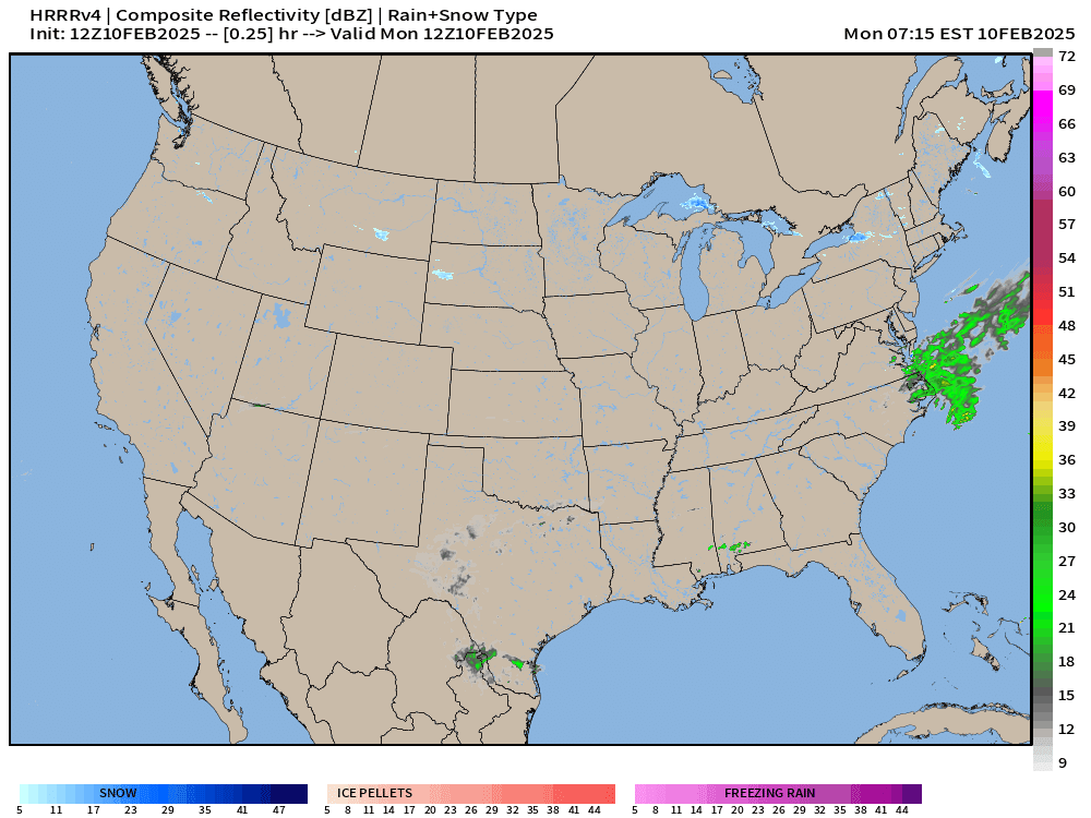
Good Monday Morning
Quiet day mostly across the Lower 48, thankfully before a parade of winter storms track across the Lower 48.
Major impacts from a storm system in the Southeast are heavy rainfall, and then snow in the mid-Atlantic. Then another storm forms in the Central Plains on Wednesday.
A brief burst of rainfall for the California coast arrives also on Wednesday before a major atmospheric river event on Thursday.
HRRR Next 48-Hours
HRRR Tues-Wed

Total snowfall from HRRR in the 3-inches range across Washington D.C. with much more southward in Virginia — perhaps 8-10” around Richmond.

NWS Snowfall Totals next 72-hours
Maybe 5-inches in D.C. according to the NWS human forecasts. 3” into NYC from the storm system later on Wednesday.
The next storm shows up in the forecast through 3-days from the Plains into the Great Lakes with a very nice footprint of 8-inches.


Heavy rainfall along Interstates 20 and 40 across the Southeast in the 2-4” range with isolated 6”+ from moisture out of the Gulf of Mexico.

Most Recent 6-Days ECMWF Model Update (06z)

Heavy snowfall in the Sierra from the California coast major atmospheric river.
Up to 18” in Michigan from the winter storm forming in the Plains and tracking NE during end of the week.

Excessive rainfall from Texas into Tennessee. Also, check out the huge totals across the California coast even into SoCal.
Keep reading with a 7-day free trial
Subscribe to Weather Trader to keep reading this post and get 7 days of free access to the full post archives.