


December 3, 2024 Tuesday Weather Update
Significant warming trend into next week

Tuesday Headlines
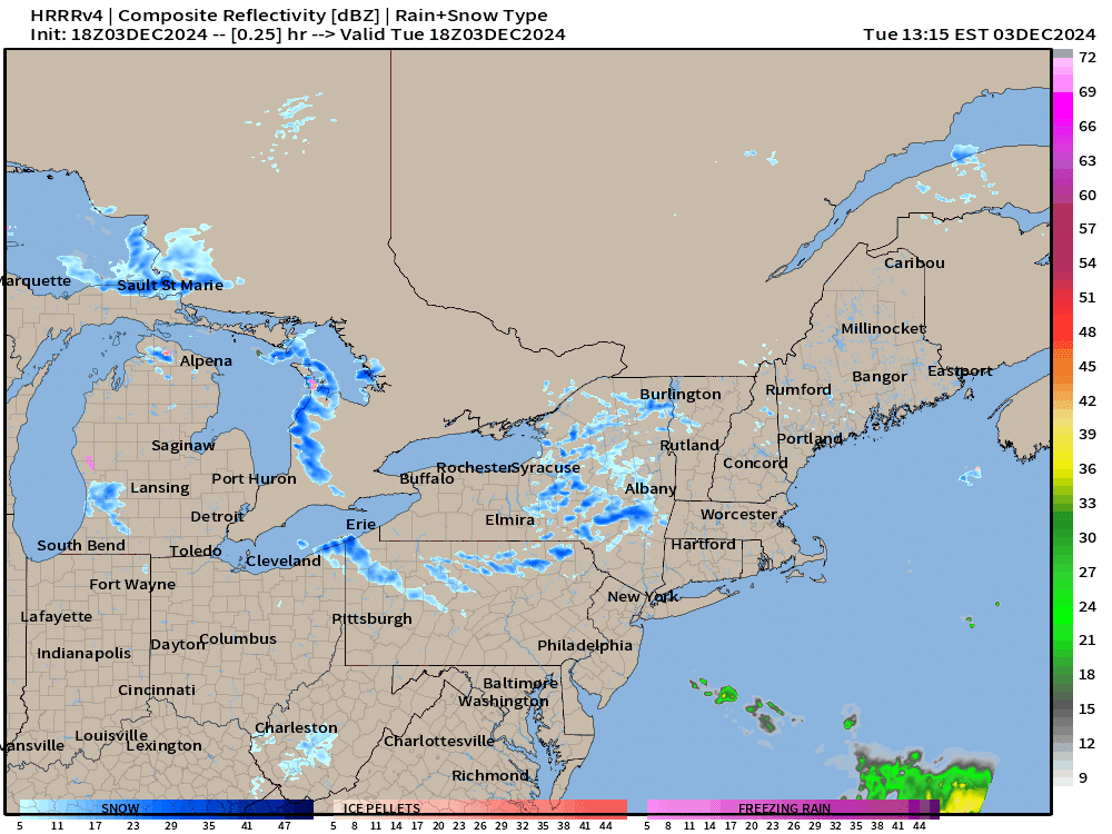
Storm system tracks through Great Lakes into Northeast with some decent snowfall. Then, Lake Effect snowfall kicks in behind the Arctic front
Arctic blast intensifies into Thursday before finally breaking down and washing out off the East Coast by this weekend.
Warmer pattern with Pacific origin air for next week. Watching cold air pools over Alaska and the Canadian Arctic, but models have not reached a consensus on if/when next major cold blast unwinds on Lower 48.
4:30 PM ET Temperatures across the Lower 48

79 million freezing or colder this afternoon. Temperatures in the 20s and 30s across the Midwest and Great Lakes are rather seasonable. 60s in the Plains and even Denver!
We can look at the map vs. climatology:
Temperature Anomaly | 4:30 PM ET

Overall the Lower 48 is +1.3°F (above normal) as the western U.S. warmth outweighs the Arctic cold sinking into the Southeast.
Snow Storm | Next 48-hours | HRRR
Keep reading with a 7-day free trial
Subscribe to Weather Trader to keep reading this post and get 7 days of free access to the full post archives.