


Top stories Friday morning:
(1) Gulf of Mexico hurricane threat: NHC again increased chance of tropical development in 2-7 days to 70% in the NW Caribbean or southern Gulf of Mexico. The track would be northward into the Florida Gulf Coast with potential for (up to) hurricane strength landfall Tues-Wed next week. Recent ECMWF HRES model runs have been up and down with level of organization. This is reflected in a wide range of solutions from the ensembles.

(2) Much cooler weather for the weekend across the Great Lakes as rather chilly air mass descends from Canada. The 90s and 100s are squashed along Interstate 40. Unfortunately, temperatures tick up into the 100s with higher heat index from Texas to North Carolina.

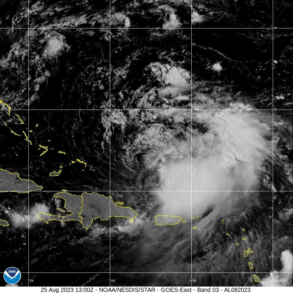
(3) Tropical Storm Franklin remains disorganized Friday morning with strong wind shear displacing the strongest convection well to the south and east of the center of circulation. Maximum wind speeds have fallen to 50 mph. However, as Franklin moves north, it will find much more favorable environment for intensification.
Keep reading with a 7-day free trial
Subscribe to Weather Trader to keep reading this post and get 7 days of free access to the full post archives.