


August 24, 2024 Saturday Tropical Update
Signs of life in the Atlantic in 10-days

Thank you to Subscribers and Supporters into Year 2 of this newsletter.
Headlines for this Weekend
Summer’s last gasp across the Midwest as Heat Dome expands eastward
Atlantic Tropics next opportunity for development in 10-12 days around northern Caribbean to Bahamas: Ensembles show area of interest along with AIFS
Tropical Storm Hone to pass south of Big Island of Hawaii
Atlantic Tropics remain very quiet into September
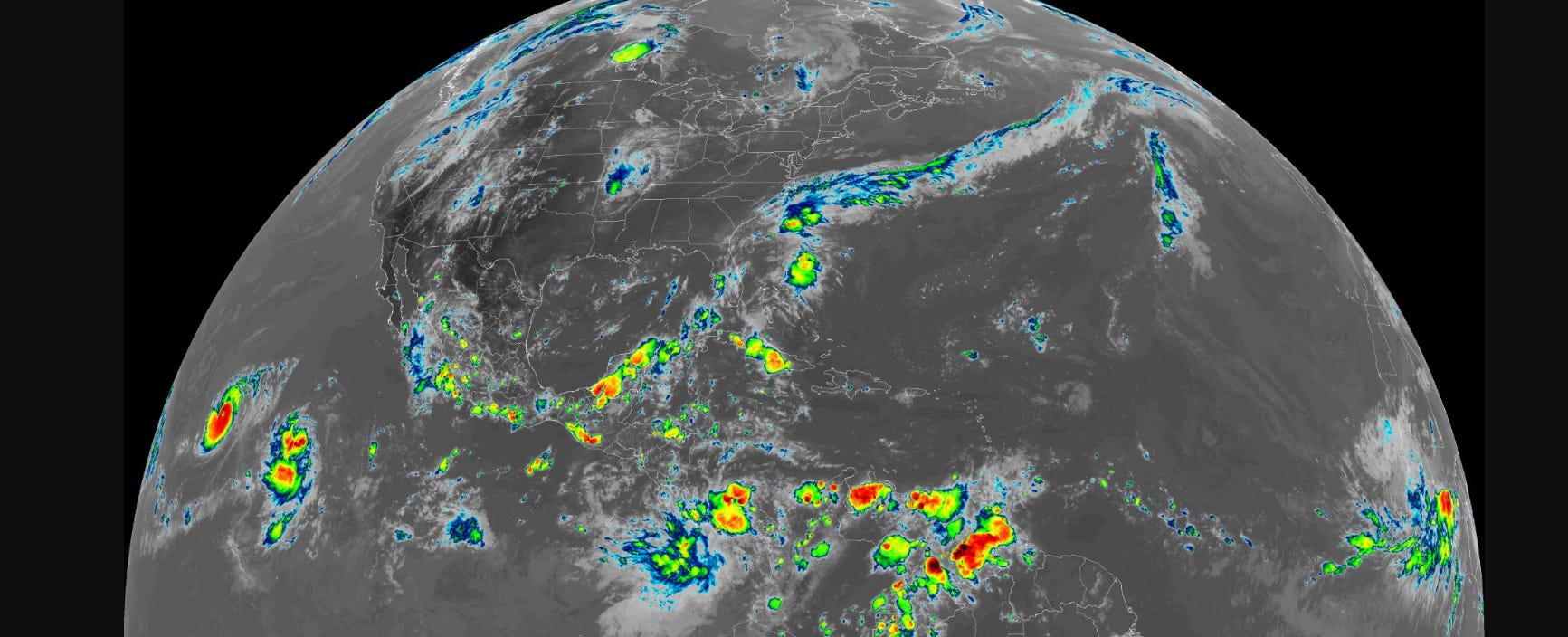
The tropical Atlantic is quiet this evening with only scattered convection around Florida and over the Yucatan and Cuba. Nothing organized here or elsewhere as the entire Atlantic tropics is devoid of shower activity. The dry and stable environment seems unexpected for late-August, but 2024 is a weird year with abnormal bursts of dry/dusty air from Africa continually crossing the ocean. Tropical waves — many of which are very strong — and will continue to be in the coming days — end up at 20°N emerging off Africa into the too-cool waters over NE Atlantic w/Canary Current (cold).

The tropical waves over Africa are very robust — probably classified as tropical storms immediately touching water except at a lower latitude. Once they reach the Atlantic, they go poof.
This northward jaunt of the ITCZ over Africa is weird — not sure what’s going on — but probably related to the volcano (Hunga Tonga) and warming of lower stratosphere due to extreme amounts of water vapor remaining from the 2022 eruption.
You’ll also note an extreme monsoon depression over western India (Gujarat) heading to near the Arabian Sea. The moisture flow will mean unbelievable rainfall in the coming 24-72 hours.

Keep reading with a 7-day free trial
Subscribe to Weather Trader to keep reading this post and get 7 days of free access to the full post archives.