


Top stories Thursday afternoon:
(1) Gulf of Mexico hurricane threat: NHC increased chance of tropical development in 2-7 days to 60% in the NW Caribbean or southern Gulf of Mexico. The track would be northward into the Florida Gulf Coast with potential for hurricane strength landfall Tues-Wed next week. However, too soon to say much about when/where or if.

(2) Central U.S. “heat dome” finally breaks down with a very welcome cold front on Friday. The weekend looks much cooler north of I-70 including the Great Lakes, Ohio Valley, upper Midwest and Northeast. Instead of 90s and 100s, we’ll be seeing 70s and 80s in Minneapolis, Chicago, and Detroit.
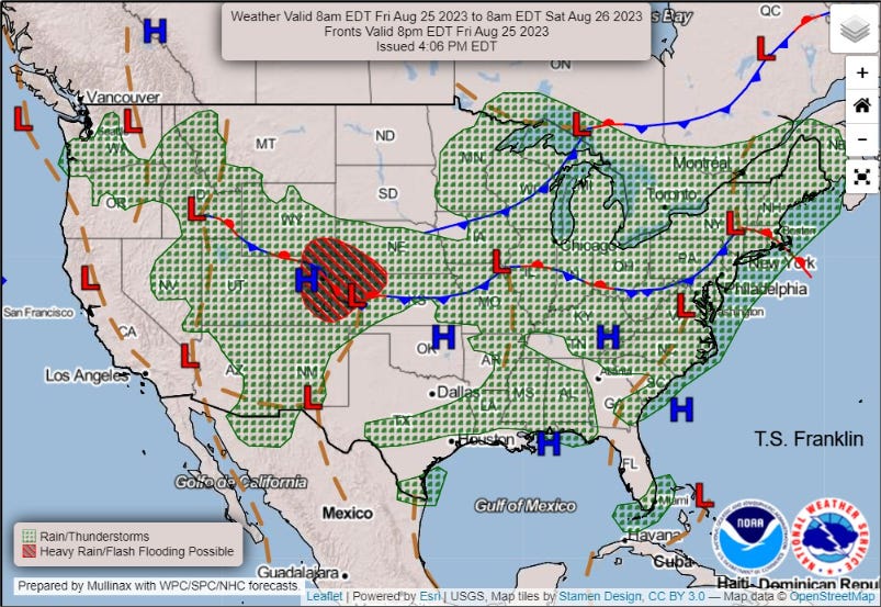
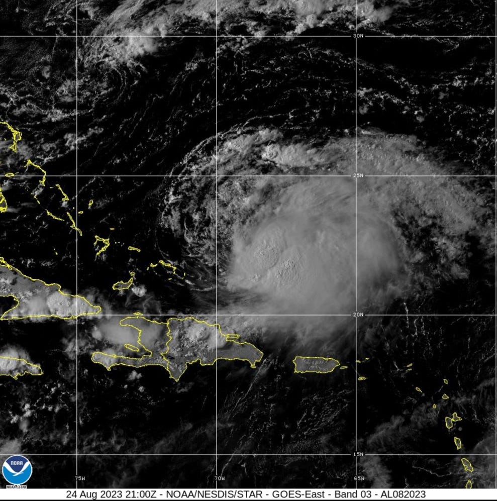
(3) Tropical Storm Franklin is up to 50-knots but suffering from strong westerly wind shear. However, in the next few days, Franklin will be in much more favorable environmental conditions for intensification. NHC maximum intensity forecast is 95-knots at Day 3, but no surprise if it became a major hurricane in the vicinity of Bermuda over very warm [late-August] western Atlantic waters.
Keep reading with a 7-day free trial
Subscribe to Weather Trader to keep reading this post and get 7 days of free access to the full post archives.