


August 14, 2023 Hurricane Season
Atlantic seeing signs of activity
After a long break in the action, the Atlantic tropical basin is (finally) showing signals of tropical storm formation by this weekend, at least over the far eastern Main Development Region (MDR) as strong, well-organized tropical waves emerge off Africa.
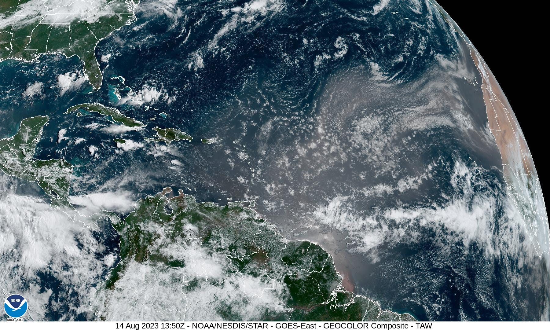
GeoColor satellite imagery shows a plume of Saharan Air Layer (SAL) plus dust from Africa to the Leeward Islands. From the ECMWF HRES models, the SAL is a hot, dry low-level (850-hPa) layer devoid of convection. Tropical waves emerge off the coast of Africa in a cocoon of their own moisture, which if it persists and can initiate growth from the very warm ocean surface, intensify into a tropical cyclone. During the week, the SAL moves westward and weakens substantially setting the stage for the MDR to blossom with named storms into end of August.


Short term Atlantic Tropics
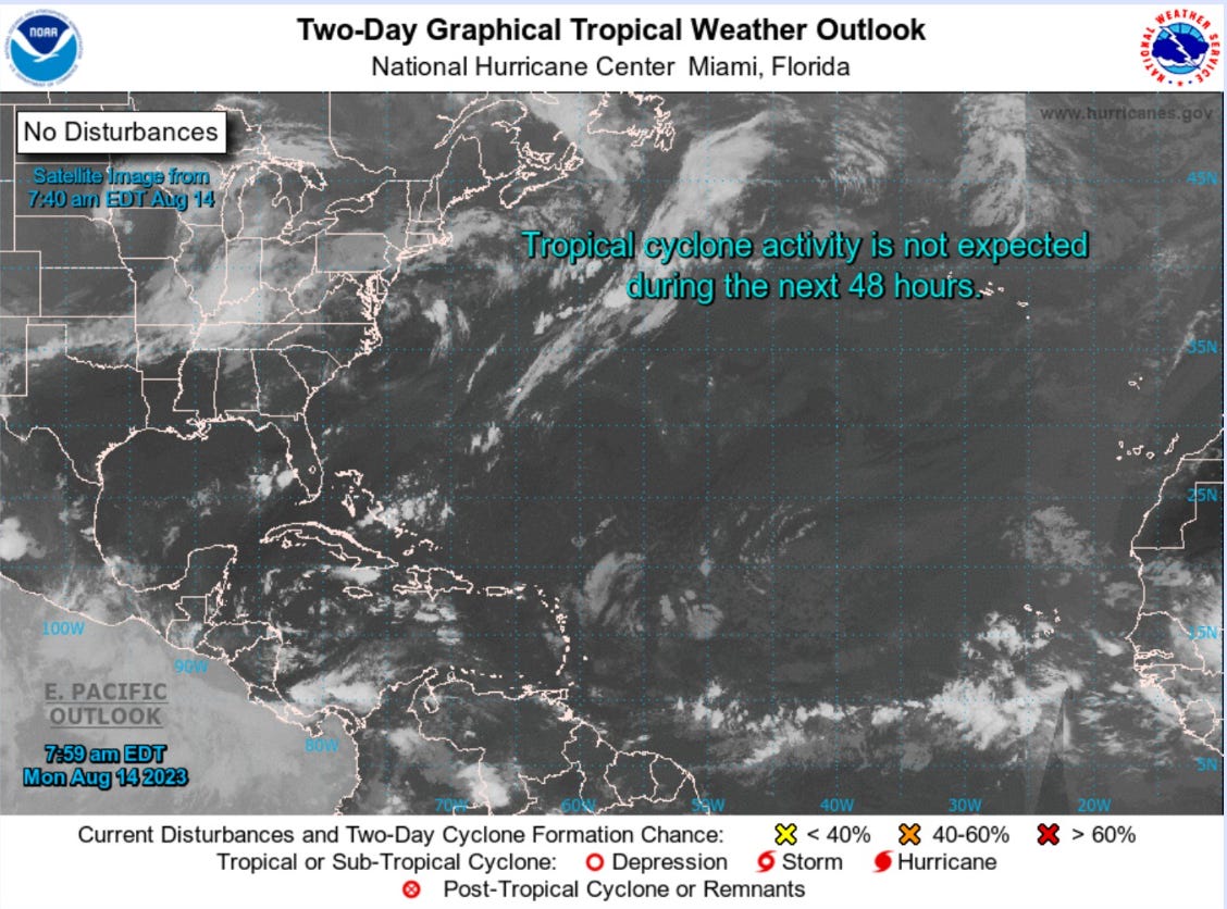
Since the end of Hurricane Don on July 24, the Atlantic has been very quiet with very few areas of interest or Invests. We will likely have a 4-week drought between named storms. While some seasons see very active July and August with many hurricanes, even the most intense, 2023 has been lucky, especially with ocean temperatures exceeding satellite-era records. 32°C is almost 90°F and 2/3 of the Gulf of Mexico is even hotter, up to 93°F. Remember, actual ocean temperatures and heat are important for hurricanes, and not anomalies.

Extended range Atlantic Tropics: Week 1
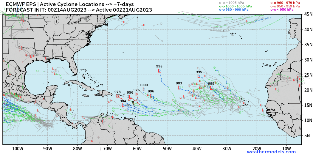
+7 days ECMWF EPS ensemble tracks [weathermodels.com]
Keep reading with a 7-day free trial
Subscribe to Weather Trader to keep reading this post and get 7 days of free access to the full post archives.