Good Friday!
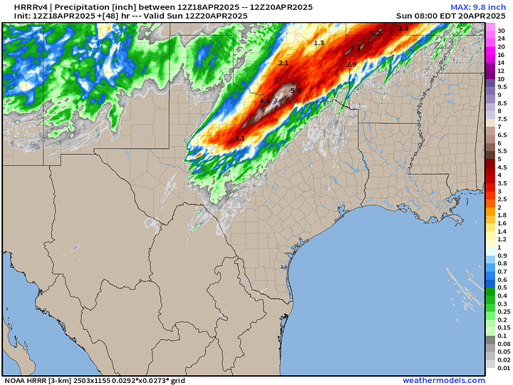
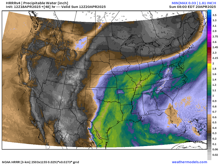
Very springlike weather pattern for the next 10-days heading into late April. Warm, moist flow with frontal boundaries and storm systems will repeat across the Plains and Mississippi River Valley into the Midwest and Great Lakes. Heavy rainfall will be the primary threat with exceptional totals centered on Oklahoma and Missouri.
Current Satellite Imagery and Radar
Fair weather across the Southeast and Mid-Atlantic into the Northeast with warm temperatures. Severe storms rolled through southern Wisconsin with large hail and moved across Lake Michigan. In the 10 AM hour, the West Michigan shoreline down I-96 to Grand Rapids and Lansing will see potentially damaging winds.
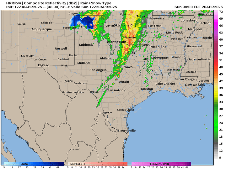
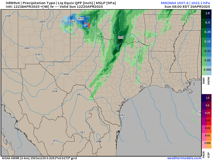
HRRR Radar 48-Hour Forecast through Sunday morning 8 AM
Powerful storm system develops in Oklahoma by Easter Sunday Morning with severe weather and heavy rain ahead of a cool front. Might be some snowfall in the Texas panhandle as upper-level trough and cold-air aloft combines with the developing low pressure center. Exceptionally heavy rain along the Red River valley in north Texas and south OK into Sunday.


Weather Today | Friday
Slight risk of severe thunderstorms with heavy rain being the primary threat including flooding.
Highs Today | Friday
105 million at/above 80°F and 231 million above 70°F. Colorado and Wyoming still below freezing for daytime highs with the trough/storm system.
High Temperatures Next 9-days
90s starting to show up regularly in the Southeast. It’s almost May, so that’s right on schedule.
Keep reading with a 7-day free trial
Subscribe to Weather Trader to keep reading this post and get 7 days of free access to the full post archives.


